Segment guide
Florida Heartland and St. Johns River Approach on Route 17
Make the Florida chapter feel like a corridor, not just a start.
The Florida heartland and St. Johns River approach is the Route 17 opening chapter. It ties together the harbor start at Punta Gorda, the inland reset at Arcadia, and the city gateway at Jacksonville before the road turns toward coastal Georgia.
Use it when you want the southern part of Route 17 to move from easygoing launch to practical metro handoff without losing the road's slower rhythm.
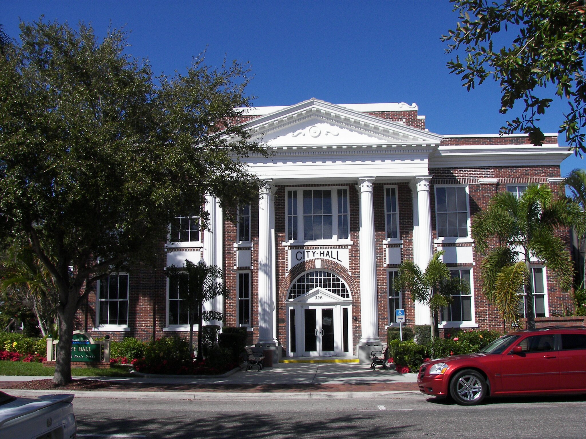
Segment at a glance
This segment is the Florida corridor's longer middle, not just the space between three anchors. It carries the Peace River and heartland sequence, then shifts into Central Florida crossroads pressure, then settles back into the St. Johns River and historic-town rhythm before Jacksonville and the state-line transition take over.
Southern launch
Punta Gorda
Best when the route should begin with harbor rhythm, a gentler pace, and an easy first-night choice.
Open Punta Gorda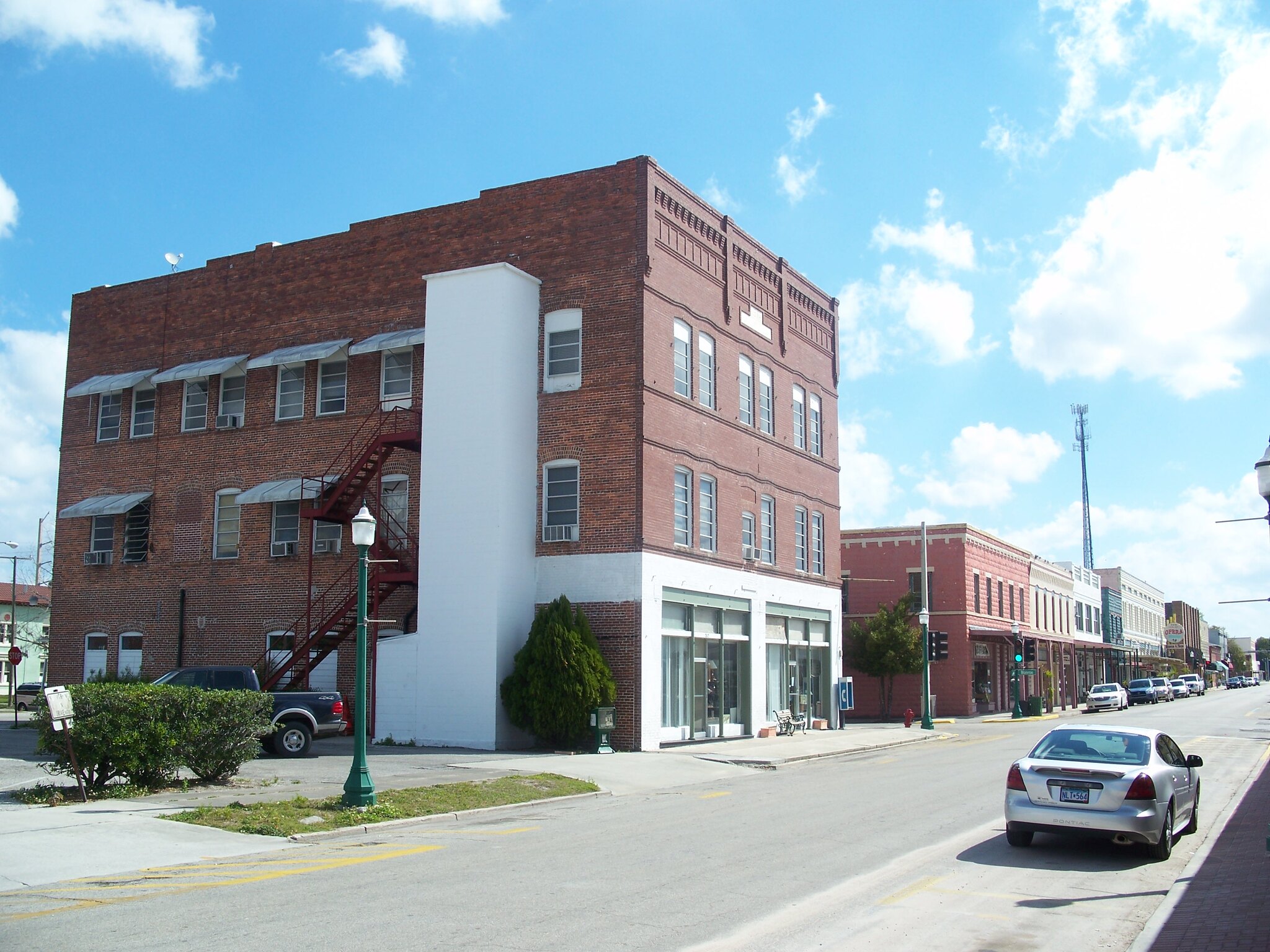
Inland reset
Arcadia
Best for keeping the Florida middle from turning into only a launch point or a city transfer.
Open Arcadia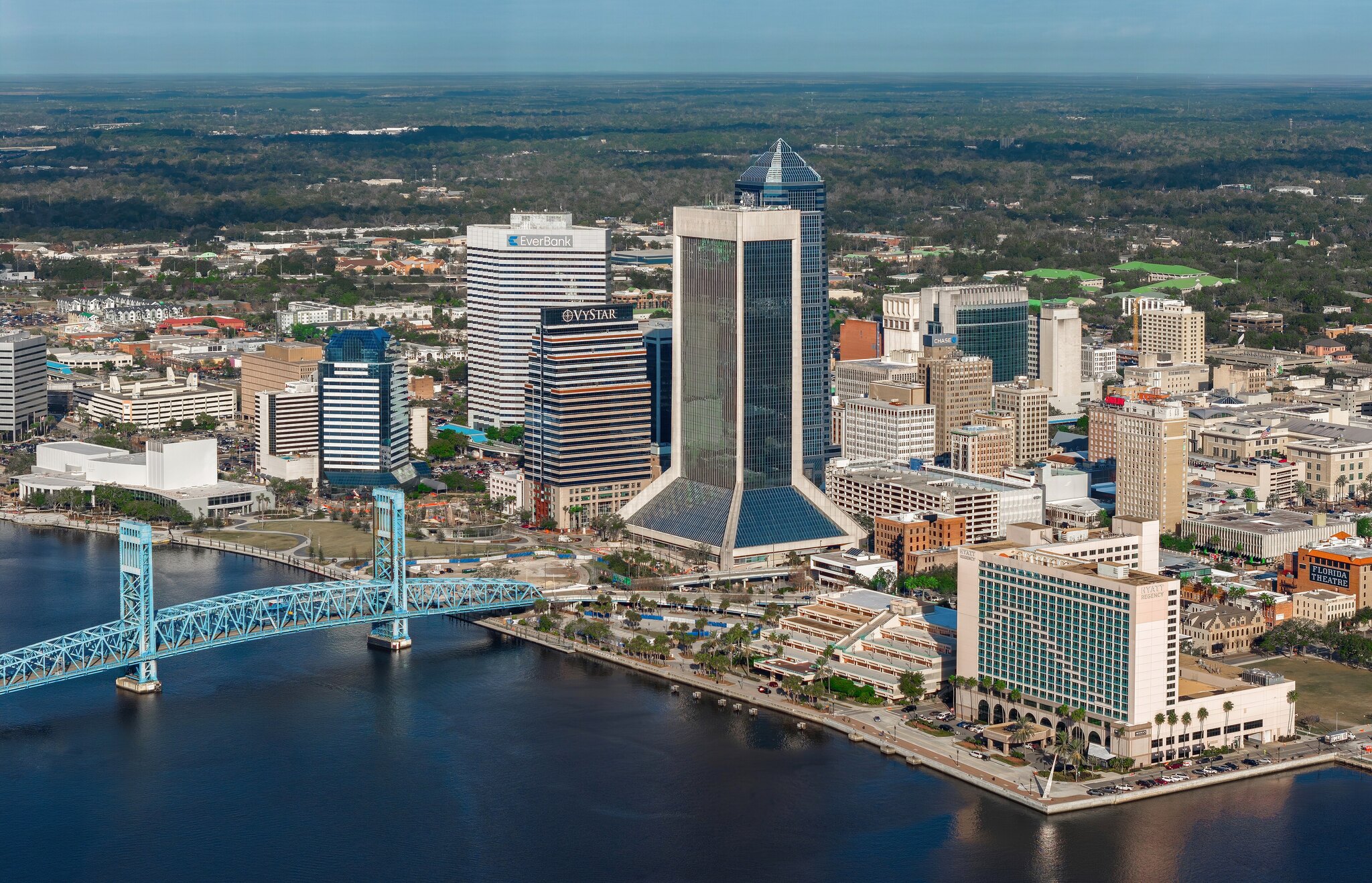
Northern gateway
Jacksonville
Best when Florida should end with a real metro stop before the road turns into the Georgia coast approach.
Open JacksonvilleHow to drive this segment
Drive this stretch by reading the corridor changes, not just the anchor towns. The road begins with harbor-to-heartland transition, picks up Central Florida pressure through the middle, and then relaxes again as the St. Johns River towns reintroduce historic downtown rhythm before Jacksonville closes the state chapter.
Northbound launch
Use Punta Gorda when the day should begin softly and waterfront-first. It is the clearest place to set the southern pace before the route reaches the Peace River and heartland sequence around Zolfo Springs, Wauchula, Fort Meade, and Bartow.
Heartland middle
Use Arcadia when you want one inland break to keep the opening honest and give the corridor a quieter middle. Zolfo Springs, Wauchula, Fort Meade, and Bartow help this section read as a real heartland run instead of empty mileage. SR 66 is an optional eastbound choice toward the Sebring area; stay on US 17 for the northbound sequence.
Central Florida crossroads
Eagle Lake, Winter Haven, Lake Alfred, Haines City, Kissimmee, and Orlando mark the pressure point where the corridor becomes more about route choice and pacing than scenery alone. Use this middle when the day can absorb a slower, more deliberate drive.
St. Johns River recovery
Sanford, DeLand, Crescent City, Palatka, and Green Cove Springs restore a river-town and historic-downtown rhythm after the metro section. This is the part of the chapter that tells the driver the corridor is settling back into an older Florida pace.
Southbound reverse
Northbound, the segment moves from harbor start to heartland, Central Florida, St. Johns River, Orange Park, Jacksonville, and Yulee at the state-line approach. Southbound, the sequence correctly reverses through Yulee → Jacksonville → Orange Park → the smaller St. Johns River towns, then Central Florida and the heartland before Punta Gorda softens the finish.
Drive rhythm and stop logic
The Florida chapter is long enough that it works best as a sequence of changing road roles rather than one giant day. Let the harbor start, heartland middle, Central Florida crossroads, St. Johns River recovery, and Jacksonville handoff each do a different job.
Best fit
Use this segment when you want Florida to feel like a full Route 17 chapter instead of a fast transfer. Pick one or two meaningful pauses in each zone and let the smaller communities provide continuity rather than turning every town into a stop obligation.
Practical layer
Punta Gorda and Jacksonville are the strongest bookends, while Arcadia, the Polk County sequence, and the St. Johns River towns provide reset choices in the middle. Keep extra time around the Central Florida metro stretch, then use the river towns to recover a slower rhythm before the Georgia handoff.
Support stops that explain the Florida middle
These places keep the long Florida chapter legible between its major anchors. Use them as route-shaping stops when the day needs services, a short walk, or a clearer sense of where one Florida zone ends and the next begins.
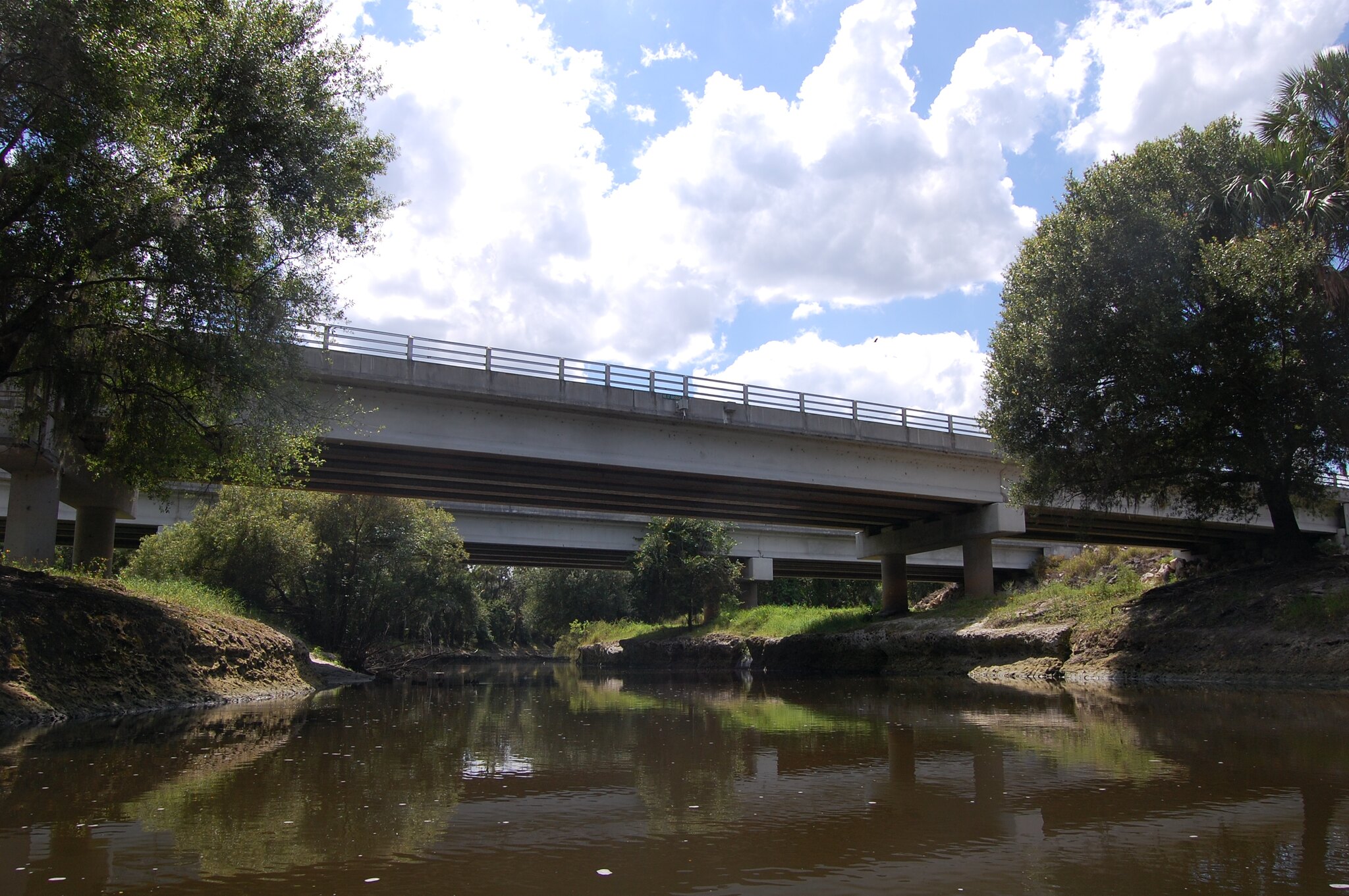
Heartland cue
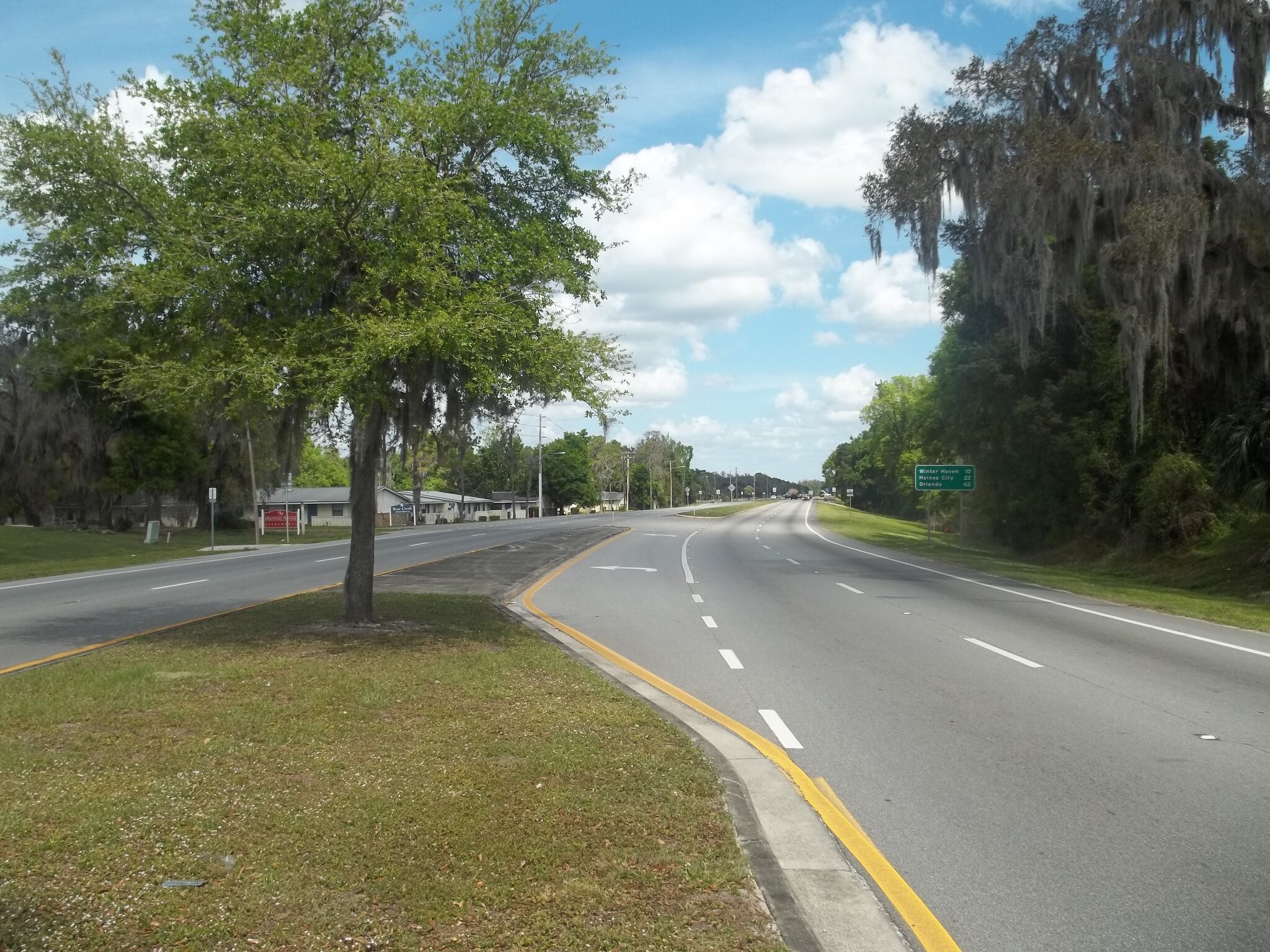
Zolfo Springs
A small-scale heartland pause that keeps the Peace River side of the route visible.
Polk County anchor
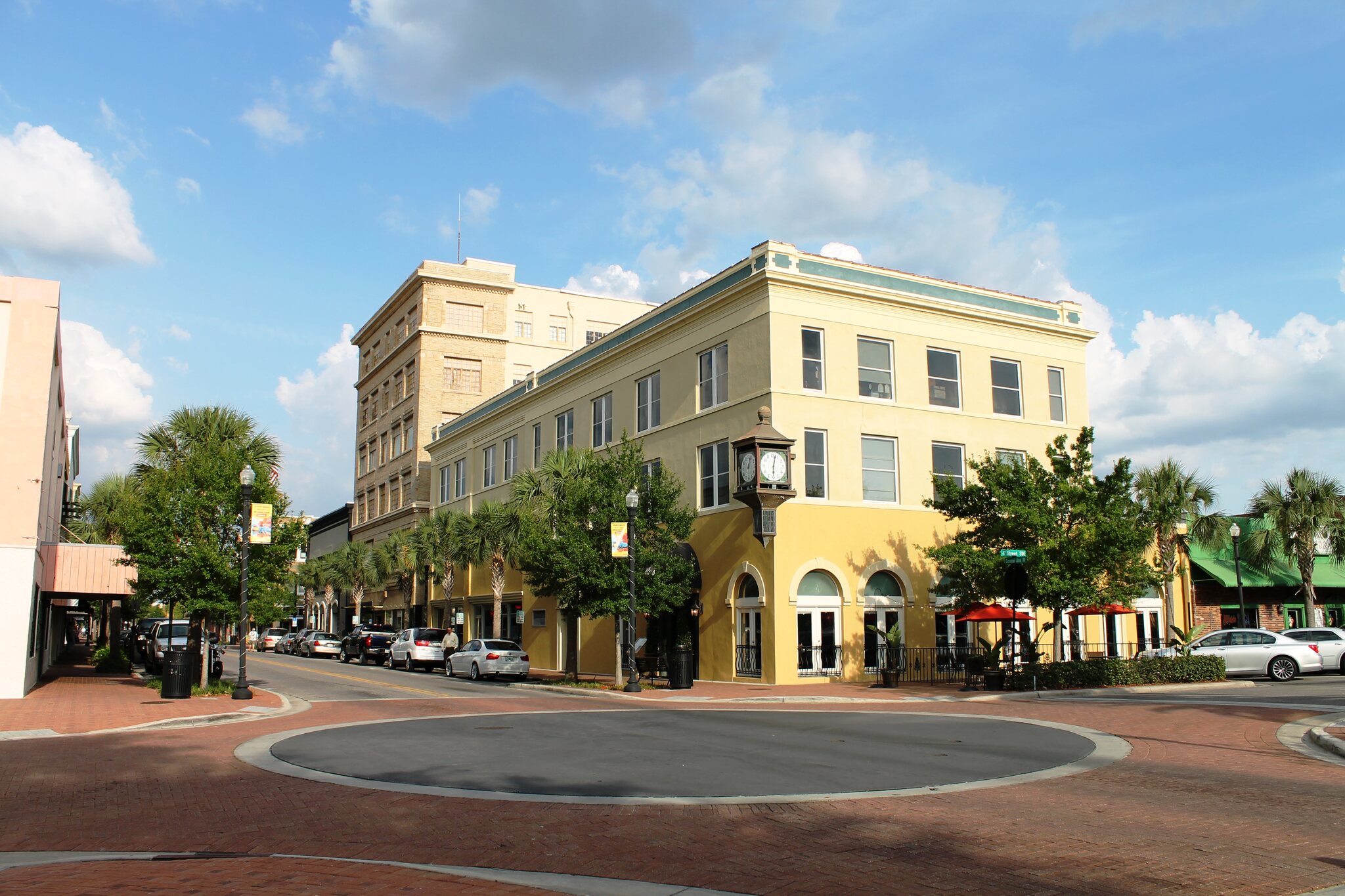
Bartow
A useful services and downtown reset before the corridor reaches the denser Central Florida sequence.
Crossroads middle
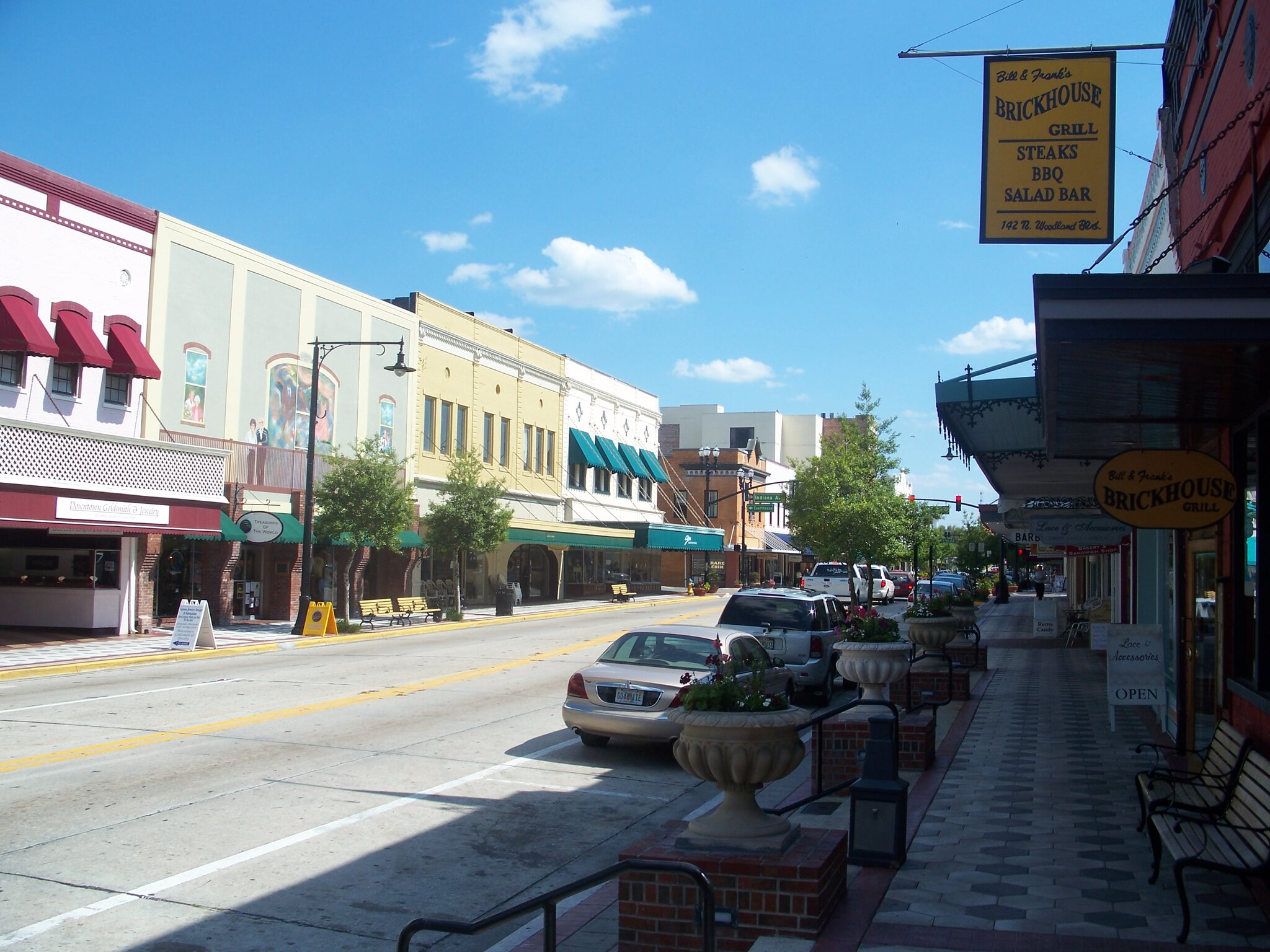
Winter Haven
A practical place to decide how much time the Central Florida portion of the day can absorb.
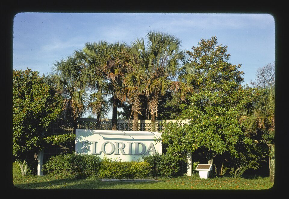
State-line handoff
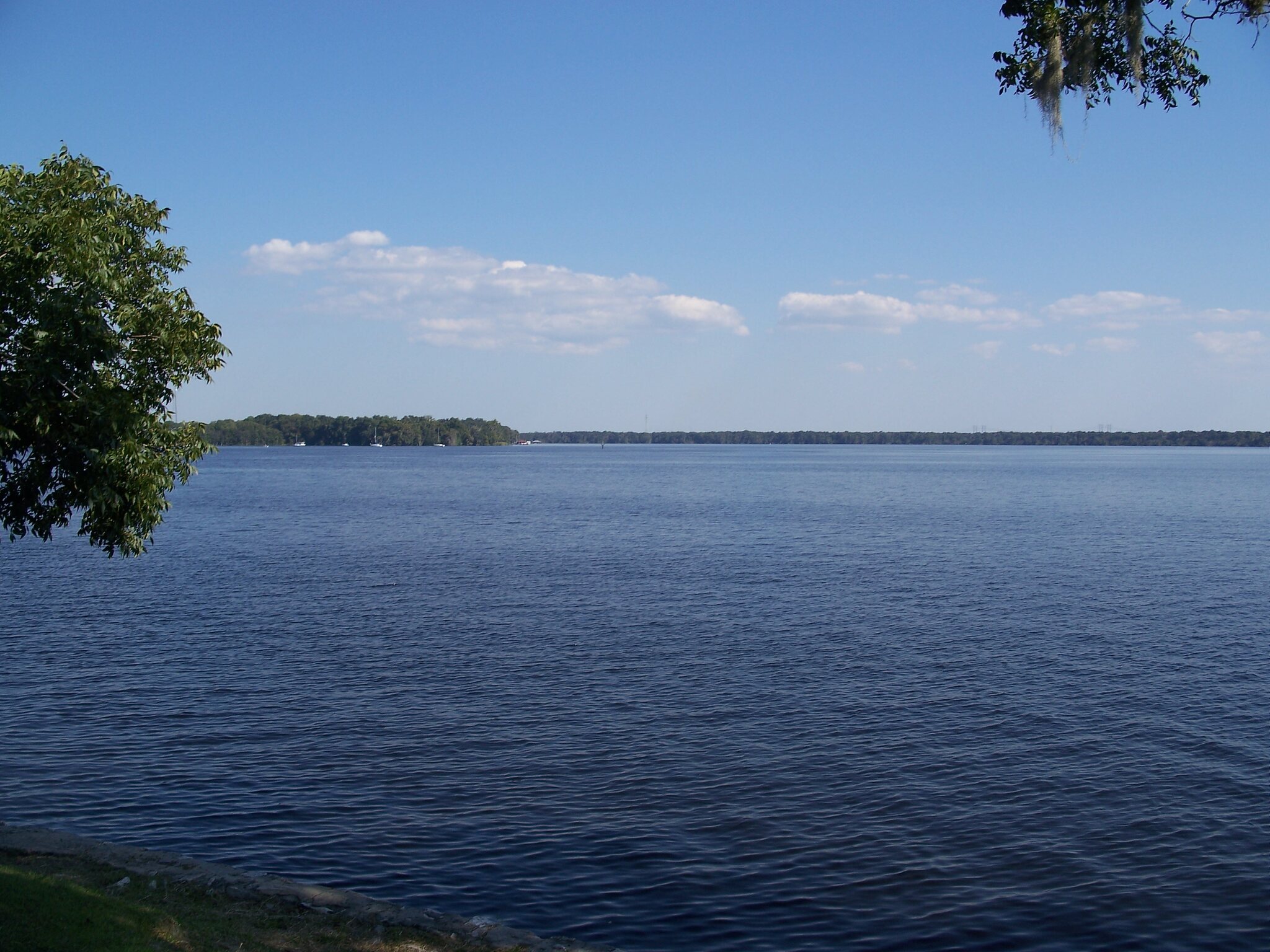
Yulee
The final Florida-side orientation point before the Georgia coast chapter begins.
Where to pause, reset, or go deeper
Use these anchors to choose the practical support the segment needs. They keep the three anchor stops visible while reminding you what kind of day the longer middle can support.
Harbor start
Punta Gorda
Use Punta Gorda when the southern launch deserves time to feel unhurried.
Open Punta Gorda
Old-Florida middle
Arcadia
Use Arcadia when the Florida middle needs a quiet reset instead of a second destination.
Open Arcadia
Metro handoff
Jacksonville
Use Jacksonville when the day should end with a real city stop before the Georgia coast approach begins.
Open JacksonvilleRelated trip and state layers
These are the pages that explain the same Florida story at different scales: the trip shape, the state chapter, the Georgia handoff, and the route overview.
State context
Florida
Use the state page when this segment needs to be understood as the southern launch chapter.
Next state
Georgia
Use the Georgia page when Jacksonville should hand the route off to the Golden Isles chapter.
Trip shape
Jacksonville to Savannah
Use the trip page when the Florida-to-Georgia handoff should become a practical route day.
Whole route
Route overview
Use the overview when Florida needs to be read inside the full corridor.
Carry this driving chapter
Print the Florida Heartland & St. Johns River chapter planner
The 4-page sheet turns this live chapter into a paper sequence for entry decisions, driving rhythm, anchors, backup stops, reset choices, current checks, and the next-chapter handoff.