State directory
Route 17 States
Route 17 changes character as it moves north. Use the state pages to understand the broad corridor before choosing individual places, segments, or trips.
Florida, Georgia, South Carolina, North Carolina, and Virginia each have dedicated state pages. Use this hub when you want the whole corridor shape before choosing individual places, segments, or trips.
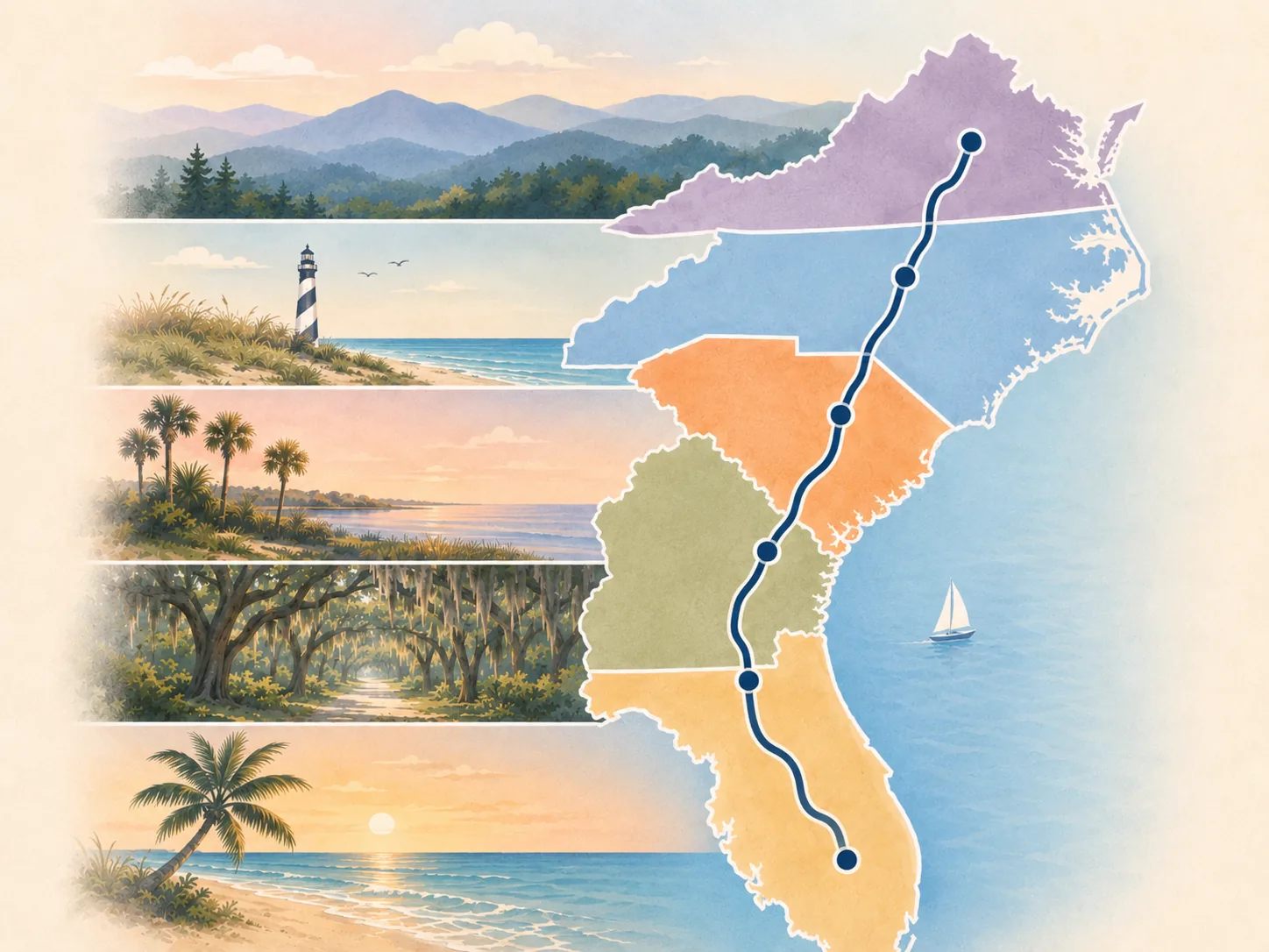
State pages
Choose the state that matches the part of the corridor you are planning. Each chapter explains the broad route job before you narrow the drive into places, segments, or trips.
Paper companion
Print the state planner before you narrow the route
The printable library includes one Route 17 planner for each of the five states, with route roles, anchor stops, decision points, current-condition checks, and space for your own notes.
Southern launch
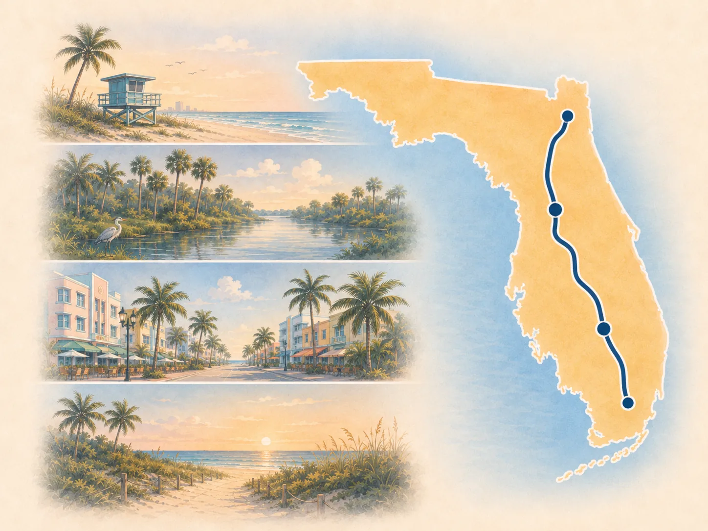
Florida
Use Florida for the harbor start, inland shift, and Jacksonville gateway before the Georgia handoff.
Open Florida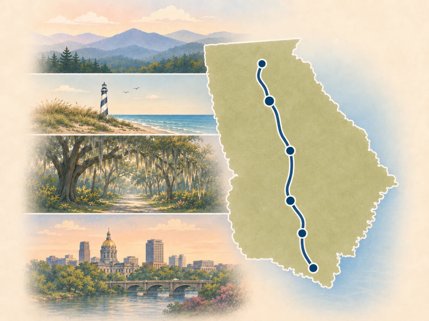
Coastal gateway
Georgia
Use Georgia for the Jacksonville-to-Savannah approach, Golden Isles context, Brunswick, Savannah, marsh country, and the lower Lowcountry handoff.
Open Georgia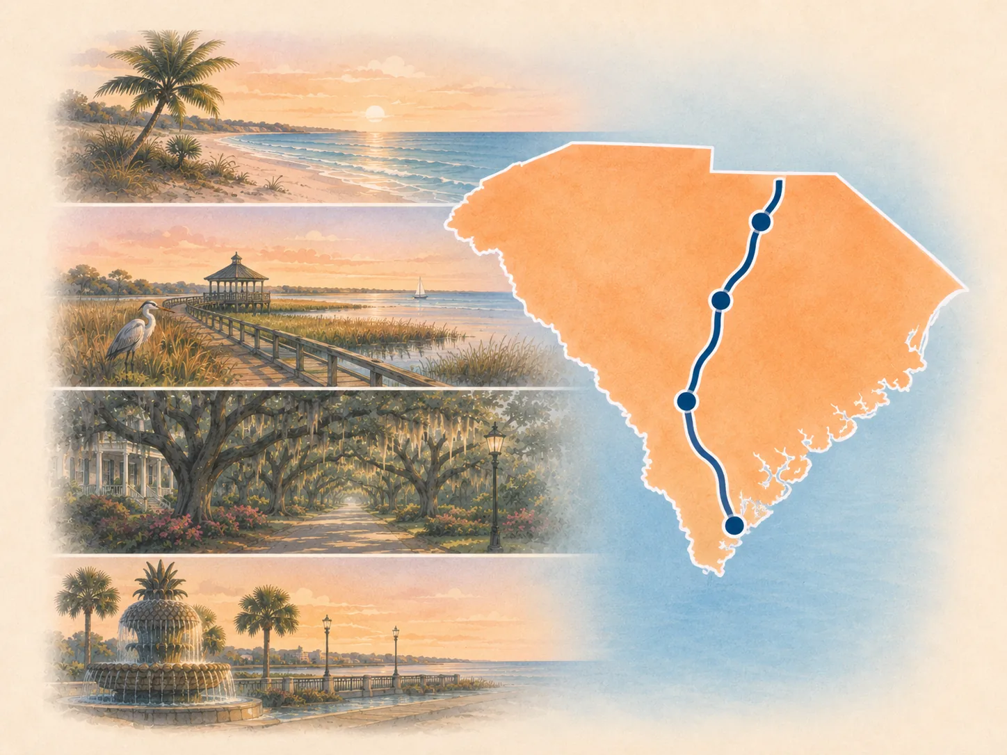
Lowcountry chapter
South Carolina
Use South Carolina for Charleston, Georgetown, the Grand Strand, Little River, and the cleanest state-to-state handoff into North Carolina.
Open South Carolina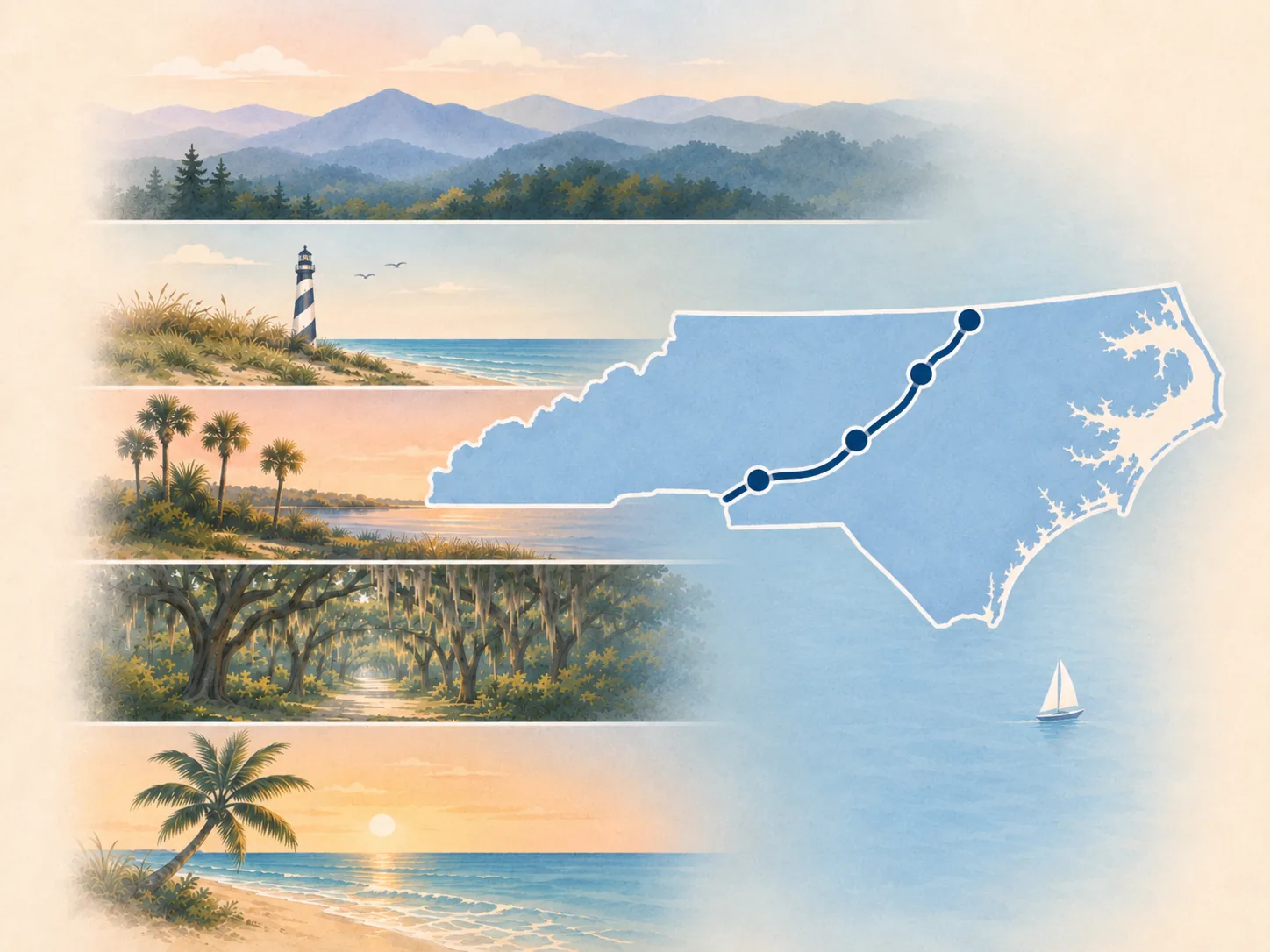
River-and-sound country
North Carolina
Use North Carolina for Wilmington, New Bern, Edenton, Elizabeth City, and the slower Inner Banks rhythm.
Open North Carolina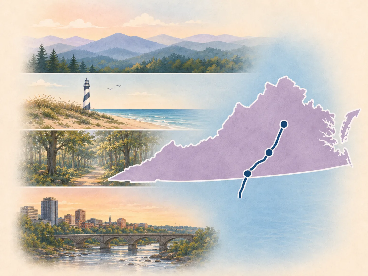
Tidewater finish
Virginia
Use Virginia for Chesapeake, Yorktown, Fredericksburg, and Winchester as the route's inland finish.
Open Virginia