Route overview
Route 17 Road Trip Overview
Route 17 Road Trip follows a coastal and near-coastal highway spine from Punta Gorda, Florida toward Winchester, Virginia. It is a road of harbor launches, historic towns, river crossings, marsh edges, port cities, old-road context, and practical choices about where to slow down.
Use this page as the whole-corridor guide before you move into states, segments, places, or trips.
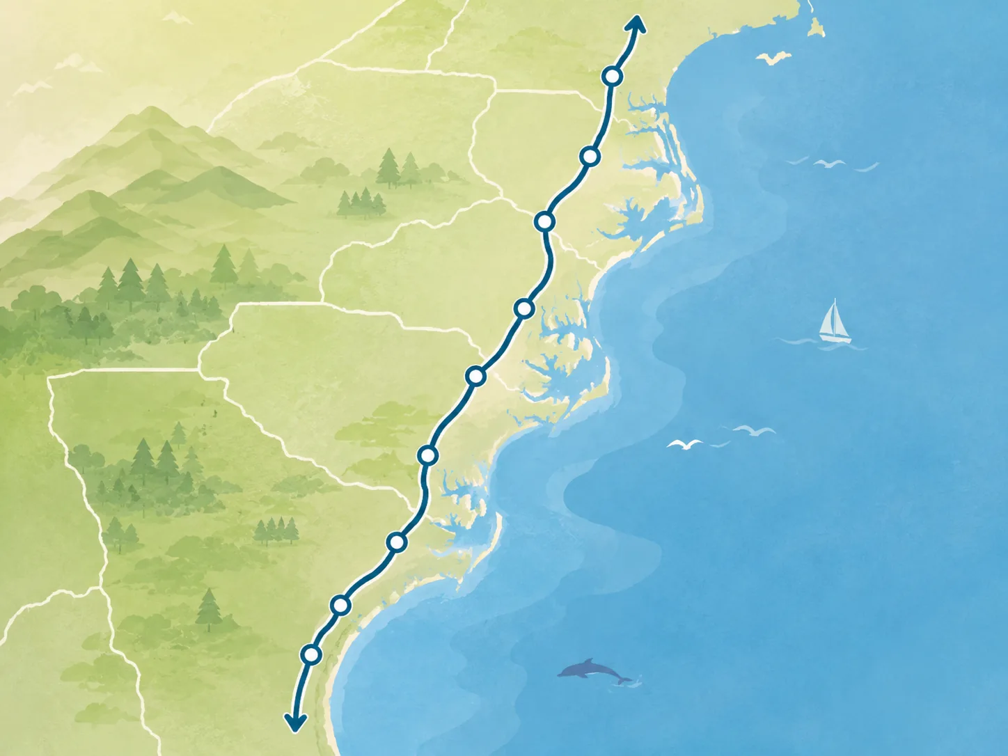
What Route 17 is
Route 17 is not one continuous beach road. It is a long coastal-road corridor that moves from Florida's harbor and interior launch toward the Atlantic edge, then through Georgia's marsh country, the South Carolina Lowcountry, North Carolina's coastal plain and Inner Banks, and Virginia's historic road network.
The guide starts with the spine: major stretches, anchor towns, state context, and the places that help a traveler understand the road before trying to plan every possible stop.

ROAD COFFEE
Coffee for the next coastal-road stretch
Keep a simple coffee setup in the vehicle for a fresh cup between waterfront towns, historic stops, and the next long stretch of Route 17.
Shop the Route 17 Amazon StoreAffiliate disclosure: Route17 may earn a commission from qualifying purchases.
US Route 17 at 100
US Route 17’s designation marks 100 years since the U.S. Numbered Highway System received final approval on November 11, 1926. The original broad corridor connected Jacksonville and Winchester, then the route later grew south to Punta Gorda in the early 1930s—one reason today’s five-state road is an evolving travel story rather than an unchanged 1926 alignment. Read the full US Route 17 centennial and route-evolution story.
How to read the Route 17 spine
- Start with the southern launch — Punta Gorda, Arcadia, and Jacksonville establish the Florida-to-coast rhythm. Open the Florida driving chapter when you want the road in sequence.
- Follow the coastal-history band — Brunswick, Savannah, Charleston, and Georgetown carry much of the Ocean Highway, King’s Highway, port-city, and marsh-country texture. The Georgia coast chapter and South Carolina chapter divide that band into practical driving decisions.
- Use North Carolina as the river-and-sound transition — Wilmington, New Bern, Edenton, and Elizabeth City shift the route into Cape Fear, colonial river town, and Inner Banks territory. Use the North Carolina driving chapter for the connective road between them.
- Let Virginia finish the story inland — Chesapeake, Suffolk, Newport News, Yorktown, Fredericksburg, Warrenton, and Winchester carry the route from Hampton Roads and the James River crossing into the northern Piedmont and terminus. The Virginia driving chapter carries the full transition.
Signature route segments
The five driving chapters are the best way to turn the full corridor into manageable days. Open the chapter that matches the part of Route 17 you are actually driving.
Florida chapter
Florida heartland to St. Johns River
Harbor launch, Peace River towns, Central Florida route pressure, St. Johns recovery, and the Jacksonville handoff.
Georgia chapter
Georgia coast and Golden Isles
The state-line gateway, marsh towns, Brunswick, Golden Isles context, and the Savannah approach.
South Carolina chapter
South Carolina Lowcountry and Grand Strand
Lowcountry junctions, Charleston, Georgetown, marsh-country pacing, beach traffic, and the North Carolina handoff.
North Carolina chapter
Cape Fear to Inner Banks and Albemarle
Wilmington, New Bern, Edenton, Elizabeth City, and the river-to-sound travel rhythm that sets up Virginia.
Virginia chapter
Virginia Tidewater to Winchester
Gateway roads, the James River crossing, colonial-history anchors, Middle Peninsula, Fredericksburg, Piedmont, and the northern finish.
How Route 17 differs from the other roadtrip guides
Route 17 is the coastal and old-road guide in the roadtrip family. It is strongest when the traveler wants marshes, waterfront towns, historic districts, port cities, colonial roads, river crossings, and a slower route texture.
Compared with the longer inland-spanning guides in the family, Route 17 is more intimate: a coastal corridor that rewards segment-by-segment planning instead of one giant sprint.
Prefer I-95 for the long haul? This guide still works
You do not have to drive every mile of U.S. 17 to use this guide. In coastal Georgia and the southern South Carolina Lowcountry, I-95 can handle the fast mileage while Route 17 tells you when a nearby town, marsh corridor, historic stop, or slower coastal stretch is worth leaving the Interstate for.
Georgia bridge
I-95 to Darien and the Altamaha corridor
Use I-95 when pace matters, then consider Route 17 around Darien when you want the Altamaha Historic Scenic Byway, waterfront context, marsh views, or a more deliberate coastal Georgia middle. The Georgia guide and Georgia coast segment carry the decision.
South Carolina bridge
I-95 to the Lowcountry approach
Hardeeville, Ridgeland, and Point South make the southern I-95 / Route 17 relationship easier to read. Use the Savannah-to-Charleston trip when you want to leave through-driving mode and make the Lowcountry middle part of the trip.
State flow
The corridor crosses five states, and each one has a different planning job. Use the state pages for the broad frame, then drop into the matching driving chapter when you need the road in sequence.
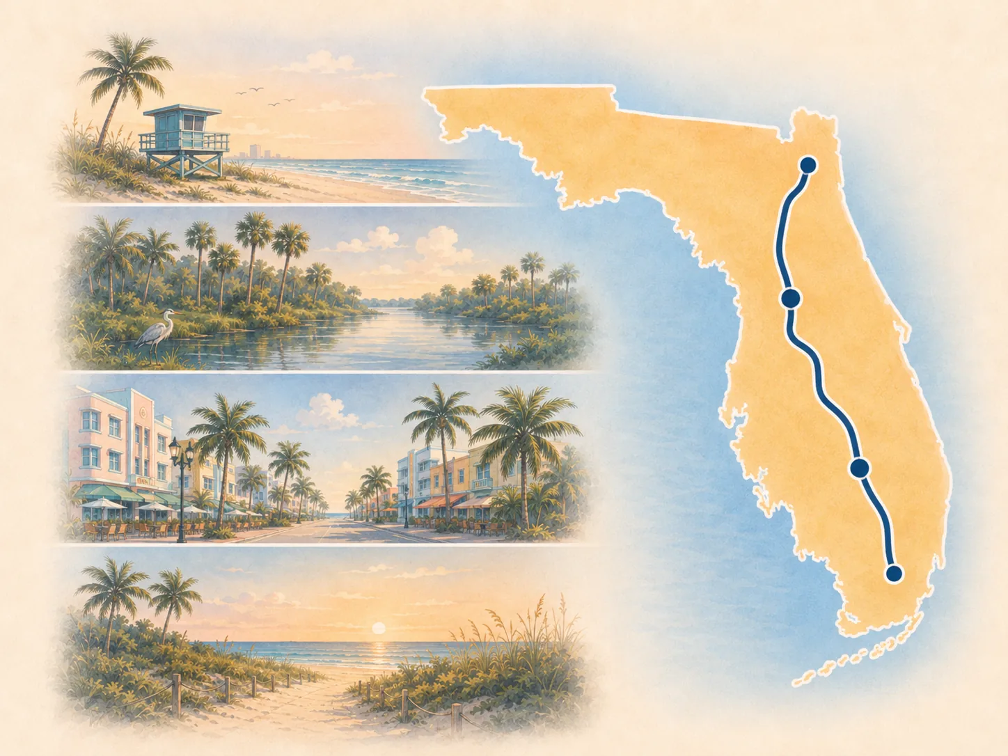
Southern launch
Florida
Harbor start, Peace River and heartland context, Central Florida pressure, and the St. Johns approach.
Open Florida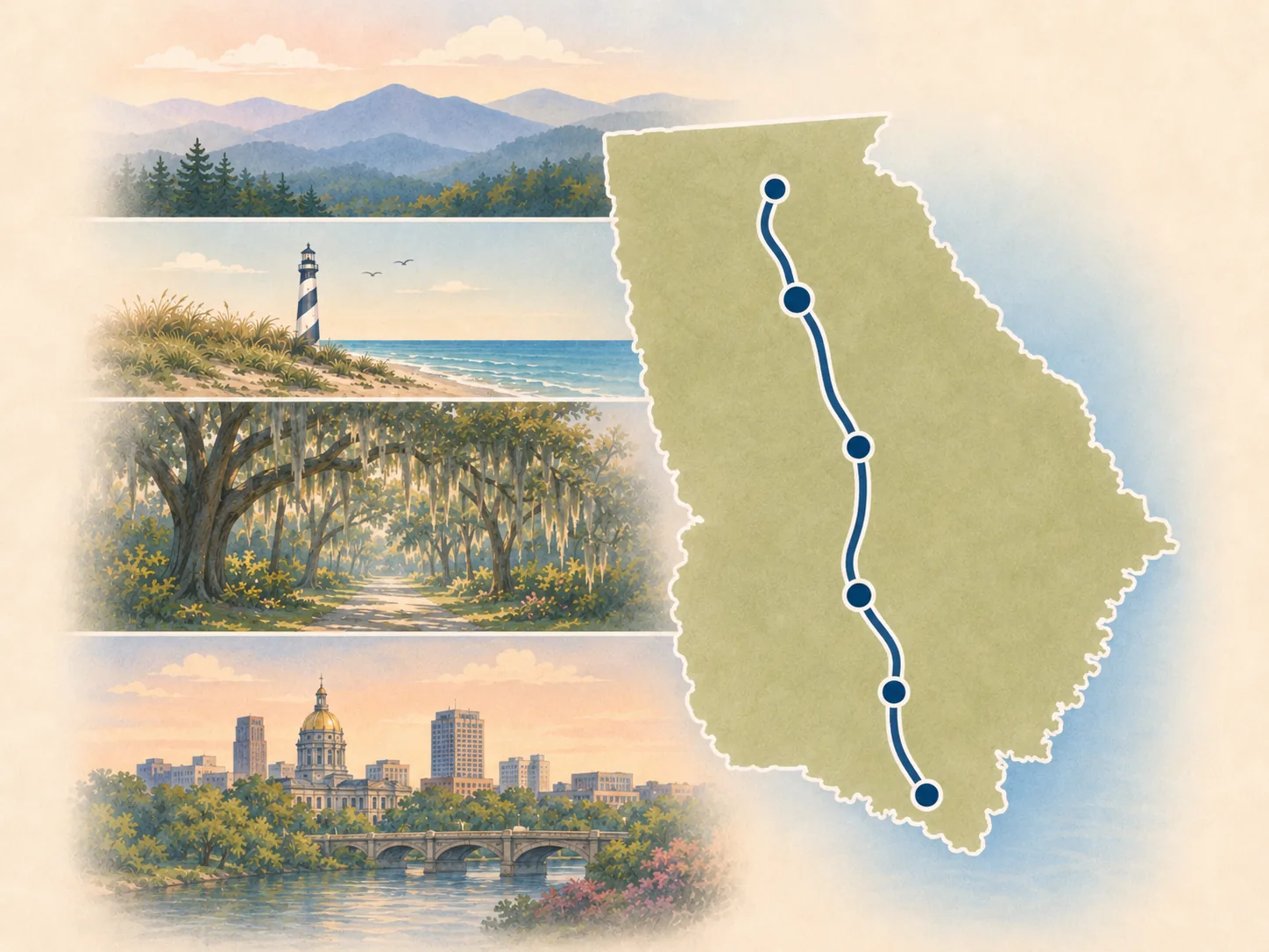
Coastal gateway
Georgia
Golden Isles, marsh towns, Brunswick, coastal-road texture, and the Savannah approach.
Open Georgia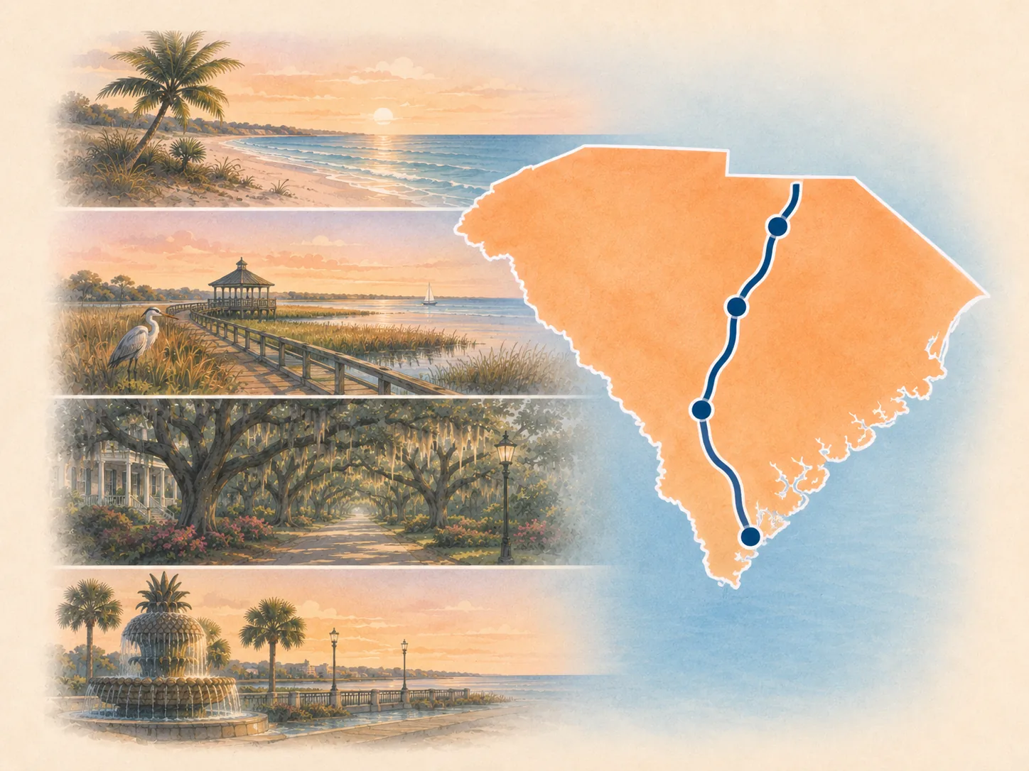
Lowcountry chapter
South Carolina
Lowcountry route choices, Charleston, Georgetown, marsh country, and Grand Strand pacing decisions.
Open South Carolina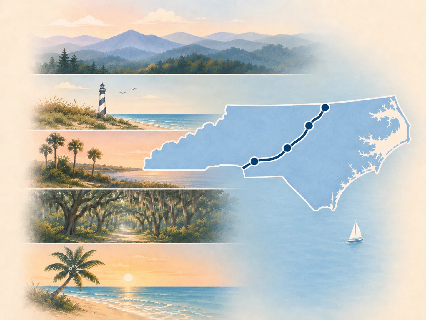
River-and-sound transition
North Carolina
Cape Fear, Jacksonville services, colonial river towns, Inner Banks anchors, and the Virginia setup.
Open North Carolina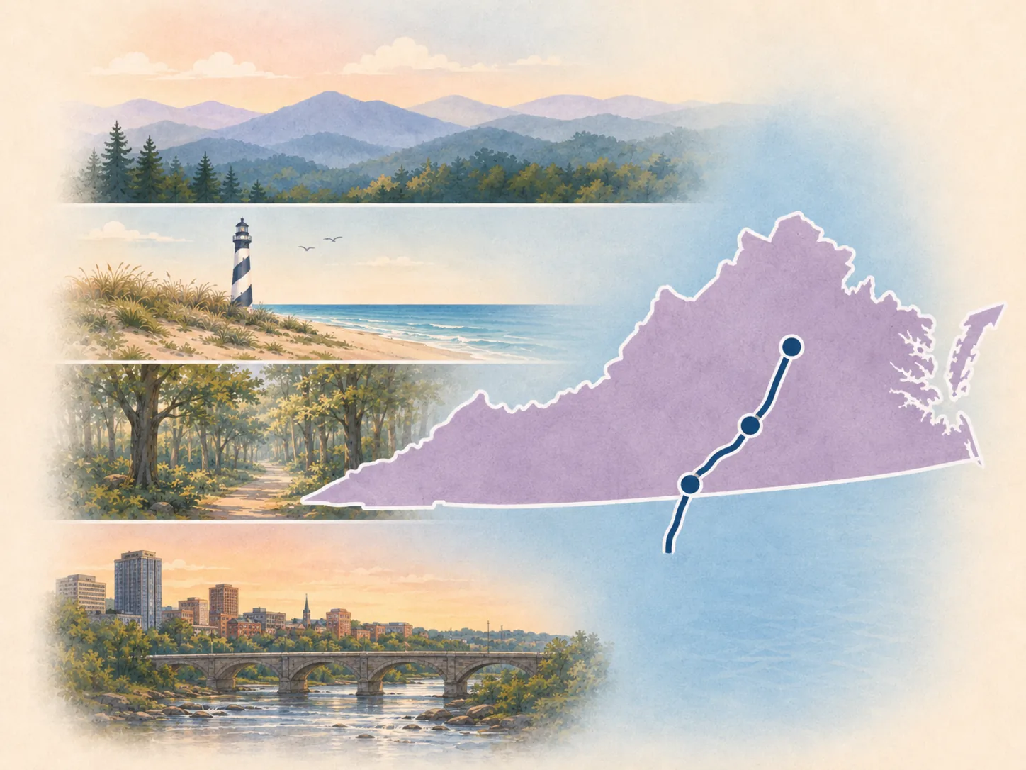
Historic inland finish
Virginia
Tidewater gateway, James River crossing, colonial history, Middle Peninsula, Piedmont, and Winchester.
Open VirginiaFollow the trip chain north
If you prefer to plan by city pair, the current trip chain now carries the corridor from the southern terminus to Winchester. Each guide keeps the next handoff visible so you can stop after one chapter or connect several.
1 · Florida
Punta Gorda to Jacksonville
Harbor launch, heartland reset, Central Florida pressure, St. Johns recovery, and the northern Florida handoff.
2 · Georgia coast
Jacksonville to Savannah
State-line transition, Brunswick and Golden Isles context, coastal Georgia support stops, and a Savannah finish.
3 · Lowcountry
Savannah to Charleston
South Carolina gateway, Lowcountry junctions, ACE Basin context, and the Charleston arrival.
4 · Coastal Carolinas
Charleston to Wilmington
Georgetown, Grand Strand decisions, coastal pacing, and the Cape Fear finish.
5 · North Carolina
Wilmington to Elizabeth City
New Bern, Edenton, river-town support, Inner Banks pacing, and the Albemarle handoff.
6 · Virginia gateway
Elizabeth City to Yorktown
Chesapeake reset, Hampton Roads and James River crossing context, and a deliberate Yorktown finish.
7 · Northern finish
Yorktown to Winchester
Middle Peninsula, Tappahannock, Fredericksburg, Piedmont transition, Ashby Gap, and the northern terminus.
Route decisions to keep straight
Florida: U.S. 17 vs. SR 66
At Zolfo Springs, Florida SR 66 is an optional eastbound state road toward the Sebring area. Stay with U.S. 17 for the Route 17 corridor, and do not confuse Florida SR 66 with historic U.S. Route 66.
South Carolina: junctions matter
Point South is useful U.S. 17 / I-95 orientation, while Gardens Corner explains the U.S. 17 / U.S. 21 split. These are route-choice cues, not extra destination requirements.
Virginia: the crossing is a route event
The Route 17 James River Bridge near Newport News changes the character of the Virginia gateway. Check current bridge, traffic, incident, and construction conditions instead of treating an itinerary as live road status.
Northern Virginia: watch the highway handoffs
Fredericksburg and the northern Piedmont bring larger-road interactions back into the chapter; Marshall's U.S. 17 / I-66 junction is a practical orientation cue before the final rural approach to Winchester.
Strongest current anchor places
- Punta Gorda — FL / southern terminus
- Arcadia — FL / Peace River anchor
- Fort Meade — FL / historic heartland anchor
- Bartow — FL / Polk County civic anchor
- Winter Haven — FL / lake-country anchor
- Lake Alfred — FL / Route 17/92 lake-country anchor
- Haines City — FL / crossroads anchor
- Kissimmee — FL / visitor-gateway anchor
- Orlando — FL / major-metro anchor
- Sanford — FL / St. Johns transition anchor
- DeLand — FL / historic Route 17/92 downtown anchor
- Crescent City — FL / Putnam County lake-country gap anchor
- Jacksonville — FL / major metro gateway
- Kingsland — GA / Georgia gateway anchor
- Woodbine — GA / Satilla River anchor
- Brunswick — GA / Golden Isles anchor
- Richmond Hill — GA / Savannah south gateway anchor
- Savannah — GA / major historic anchor
- Charleston — SC / major historic anchor
- Mount Pleasant — SC / Charleston harbor anchor
- Georgetown — SC / historic river anchor
- Murrells Inlet — SC / marsh and seafood anchor
- Myrtle Beach — SC / major tourism anchor
- Wilmington — NC / Cape Fear anchor
- New Bern — NC / colonial river anchor
- Edenton — NC / historic waterfront anchor
- Elizabeth City — NC / Dismal Swamp gateway
- Chesapeake — VA / Virginia gateway
- Yorktown — VA / colonial history anchor
- Fredericksburg — VA / historic city anchor
- Winchester — VA / northern terminus
How to use the rest of this guide
Use states to understand the route by geography, segments to compare manageable stretches, and places to choose anchor stops. Use trips when you want a more practical planning frame, and use AI for a grounded conversation about how the pieces fit together.
The route also supports selected travel-offer handoffs on place and trip pages. Those handoffs appear where they clarify a real decision; this overview stays focused on orientation and the path into states, segments, trips, and places.
Plan on paper
Pair the live corridor with a printable
The Route 17 printable library includes a whole-route roadbook and trip-scope planner, five state planners, five driving-chapter planners, seven trip companions, three road tools, a tourist checklist, and a centennial heritage field guide.