Route 17 at 100
US Route 17 Turns 100: From the Atlantic Coast to Florida’s Heartland
US Route 17 turns 100 in 2026 because its designation was included in the U.S. Numbered Highway System approved on November 11, 1926.
The centennial marks the designation—not every modern mile, bridge, bypass, alignment, or endpoint on the road travelers use today.
The 1926 designation behind the road
On November 11, 1926, the U.S. Numbered Highway System received final approval. US 17 was part of that original system, creating the historical moment behind this centennial.
The road has not stood still since. That is what makes the story useful: a route number can carry a long history while its alignments, endpoints, and traveler roles continue to evolve.
The original broad corridor
At map level, original US 17 broadly connected Jacksonville, Florida, and Winchester, Virginia. Jacksonville is the original southern-endpoint story; Winchester is the original northern-endpoint story.
That corridor is a historical frame, not a claim that every street, crossing, or mile between the two cities remains unchanged from 1926. For detailed route history and the underlying qualifications, use the canonical US Route 17 centennial guide.
How the road grew south
US 17 later extended south through central Florida to Punta Gorda in the early 1930s. The exact approval year remains unresolved in the committed research, so the broader timeframe matters more than a false date precision.
That southward growth explains the present Route17RoadTrip opening: Punta Gorda is the modern Florida beginning, while Jacksonville belongs to the original 1926 corridor. The contrast is part of the route’s history, not a contradiction in it.
From Atlantic chapters to Florida’s heartland
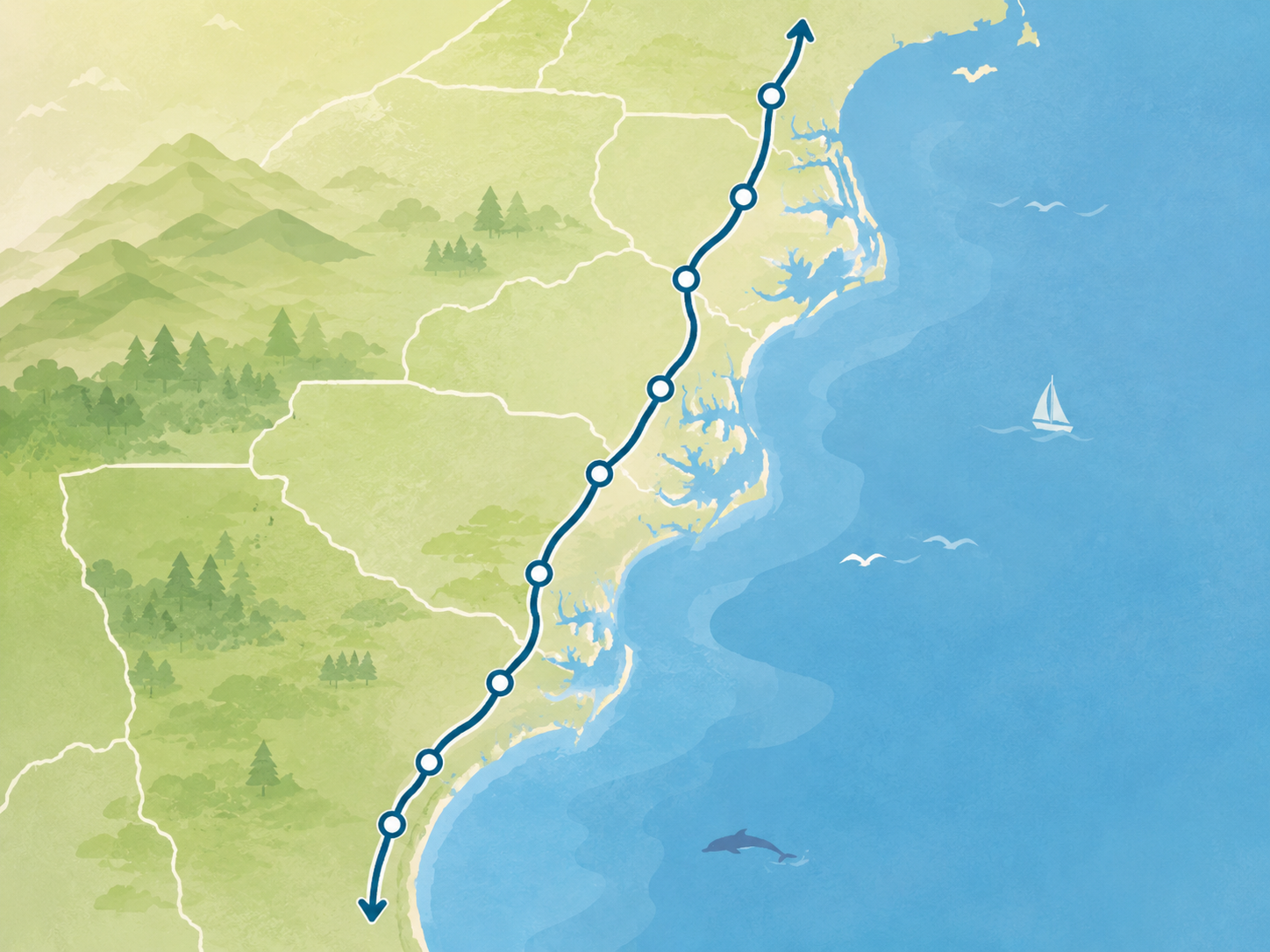
The original broad corridor gives US 17 an Atlantic-facing shape through northeast Florida, Georgia, the Lowcountry, North Carolina, and Virginia. The later Florida extension adds a different opening chapter: a harbor-side start, inland heartland decisions, and the road north toward Jacksonville.
Together, those chapters make the modern route feel like a living five-state road rather than a frozen centennial map.
What the modern road offers
Today’s Punta Gorda-to-Winchester corridor joins waterfront starts, inland Florida, coastal marsh country, historic cities, river crossings, and a Virginia Valley finish. It is a route for planning a journey, not a claim that every present-day feature is a surviving 1926 alignment.
The Route 17 overview is the practical place to orient yourself to that current corridor before choosing a state, segment, place, or trip.
Continue the centennial story
Canonical history
US Route 17 centennial guide
Go deeper on the 1926 designation, the original corridor, the later Florida extension, and the route-evolution qualifications.
Modern planning
Route overview
Use the current corridor guide to turn the evolving history into a realistic Florida-to-Virginia road trip.
Bounded network context
Roads of 1926
See the focused US 17, US 20, and US 41 network context; Route17RoadTrip remains the detailed authority for US 17 history and planning.
Accuracy and source note
This editorial companion uses the November 11, 1926 final-approval date and the route-level Jacksonville-to-Winchester and early-1930s Florida-extension qualifications in the canonical centennial research. It does not treat the modern corridor as unchanged since 1926.
After the anniversary
The centennial is a timely reason to look at US 17, but the useful idea lasts longer: the road connects places that have changed while keeping a route story legible across a century.