Route 17 at 100
US Route 17 Centennial: The Original Coastal Corridor and the Road That Grew South
US Route 17 turns 100 in 2026. The anniversary marks a route designation approved with the U.S. Numbered Highway System on November 11, 1926—not every present-day mile, alignment, bridge, or endpoint.
The original broad corridor connected Jacksonville, Florida, and Winchester, Virginia. The route later extended south through central Florida to Punta Gorda in the early 1930s, creating the five-state journey Route17RoadTrip follows today.
November 11, 1926
What the centennial marks
The U.S. Numbered Highway System received final approval on November 11, 1926. US 17 was included in that original system, so the route designation reaches its centennial in 2026.
Early 1930s
How the route reached Punta Gorda
US 17 later extended south from Jacksonville through central Florida to Punta Gorda. The exact extension year remains unresolved, so this guide uses the supported early-1930s timeframe.
A route designation turns 100—not every modern mile
The centennial belongs to the US 17 designation. It does not mean every modern road segment, bypass, bridge, local approach, or endpoint has carried the number unchanged since 1926. The present corridor is more useful when read as an evolving route: an original broad Jacksonville-to-Winchester story that later gained its southward Florida chapter.
The original Jacksonville-to-Winchester corridor
At map level, original US 17 broadly ran from Jacksonville to Winchester. Jacksonville is central because it anchors the original southern-endpoint story; Winchester holds the original northern-endpoint role. Those corridor-level facts do not establish an unchanged street-by-street alignment in either city or along every part of the route.
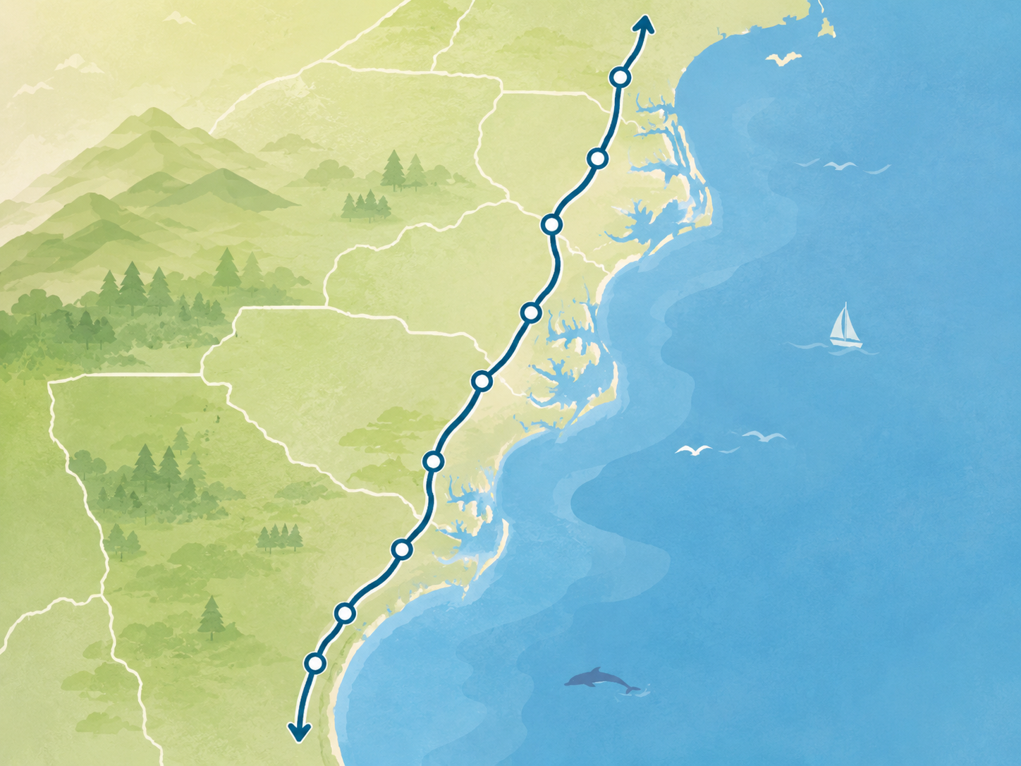
For travelers, the original corridor provides a practical way to understand the northern portion of the road: Florida’s northeast gateway, Georgia marsh country, the South Carolina Lowcountry, North Carolina’s coastal plain and Inner Banks, and Virginia’s Tidewater-to-Valley finish.
How the road grew south to Punta Gorda
Punta Gorda is the modern southern beginning of Route17RoadTrip, but it was not the original 1926 southern endpoint. US 17 was extended south from Jacksonville through central Florida to Punta Gorda in the early 1930s. That later chapter gives the route its harbor-side launch and explains why the modern itinerary begins farther south than the original corridor.
The exact extension year is not settled in the available research. Rather than turn an unresolved date into a false certainty, this guide keeps the broader early-1930s wording and focuses on what travelers can reliably use: Punta Gorda is part of the route’s later growth story.
Original Route 17 and the modern corridor
The modern road is neither a frozen 1926 map nor a single kind of drive. It begins at Punta Gorda, moves through inland Florida to Jacksonville, then continues through Georgia, South Carolina, North Carolina, and Virginia to Winchester. Extensions, local changes, realignments, and modern planning needs all belong to that larger story.
That distinction is useful on the road. It lets a traveler appreciate the centennial without assuming that every bridge or bypass is historic, while still seeing how a numbered route connects harbor starts, marsh edges, waterfront towns, river crossings, historic cities, and an inland Valley finish.
Five states, one evolving Route 17 journey
Route17RoadTrip follows the present corridor through Florida, Georgia, South Carolina, North Carolina, and Virginia. Use the Route 17 overview for modern corridor orientation, then open the five state guides, compare route segments, choose anchor places, or shape a drive with trip ideas.
Three endpoint stories
Original southern anchor
Jacksonville
Jacksonville is the original broad southern-endpoint story for US 17 and a practical Northeast Florida gateway into coastal Georgia today.
Later extension
Punta Gorda
Punta Gorda joined the route in the early 1930s and is the modern harbor-side beginning for planning the full Route 17 journey.
Original northern anchor
Winchester
Winchester anchors the original broad northern-endpoint story and remains the modern route's Virginia finish.
Ways to explore the route
Modern orientation
Route overview
See the present Florida-to-Virginia corridor before choosing stops, pacing, or a direction of travel.
State flow
States
Read the route through its five state chapters, from the Florida launch to the Virginia finish.
Drive shape
Trips
Turn the corridor into a manageable road trip with realistic city pairs and connections.
Anchor stops
Places
Choose the cities and towns that give the evolving route its practical traveler meaning.
Planning tools
Segments
Compare manageable stretches before using AI route help for a grounded planning conversation.
Read the centennial story
Editorial companion
US Route 17 Turns 100: From the Atlantic Coast to Florida’s Heartland
Read the shorter editorial story, then return here for the detailed route history, qualifications, and route-evolution context.
Compare the Roads of 1926
Shared numbered-system origin
Explore the Roads of 1926
US 17, US 20, and US 41 were included in the U.S. Numbered Highway System approved on November 11, 1926, then developed into different modern corridors through later extensions, relocations, bypasses, and changing travel roles. The three-route overview provides a quick comparison; return here for detailed US 17 history and travel planning.
Accuracy and source note
This guide uses the U.S. Numbered Highway System’s November 11, 1926 final-approval date, the 1926 system map’s corridor-level record of US 17, and research confirming the later southward extension to Punta Gorda while preserving its unresolved exact year. Route17RoadTrip is an independent travel-planning guide and is not affiliated with a centennial commission, highway association, tourism campaign, or government agency.
Useful after the anniversary
The 2026 centennial is a timely reason to look at US 17, but the route-evolution story remains useful after the anniversary. It explains why Jacksonville, Punta Gorda, and Winchester have different historical roles and helps travelers see today’s five-state drive as a road that grew and changed with the places it connects.
Carry the route history
Print the US Route 17 Centennial Heritage Field Guide
The 5-page field guide keeps the 1926 designation, original Jacksonville-to-Winchester corridor, later southward extension, and modern-alignment cautions together without treating designation history as an unchanged roadway.