ACE Basin support stop
Jacksonboro at a glance
Jacksonboro is a small on-corridor U.S. 17 community that makes the ACE Basin and lower Edisto transition visible before the Charleston approach. Its value is route texture and landscape context rather than a long destination checklist.
Use Jacksonboro as a named cue between Gardens Corner and Charleston, especially when the day needs one specific Lowcountry marker before the city arrival.
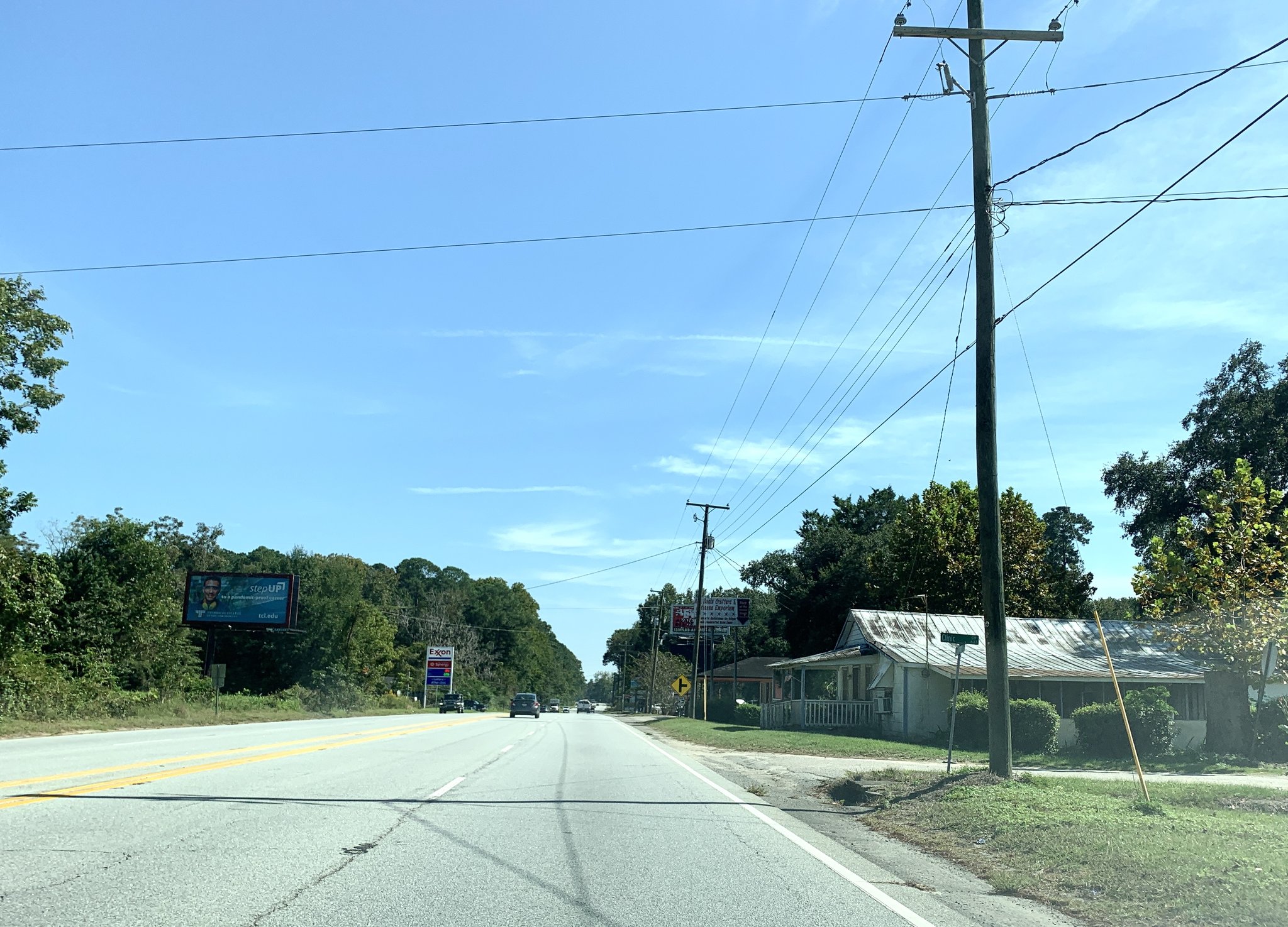
Why Jacksonboro matters on Route 17
Route role
Jacksonboro breaks up the long southern approach to Charleston with a named U.S. 17 community and a clear transition into ACE Basin and Edisto-area landscape context.
Planning value
Use it when the road itself is part of the trip. Keep the stop focused: the route role is stronger than a generic attraction list.
How to use the stop
Northbound
Use Jacksonboro after Gardens Corner as the last small-community cue before the Charleston arrival.
Southbound
Use it as the point where Charleston gives way to the quieter ACE Basin and southern Lowcountry middle.
Keep expectations proportional
This is a support node. Small-community services can be limited and date-sensitive.
Keep history specific
Tie ACE Basin or historic references to exact sites and sources instead of generalizing them across the whole community.
Continue along Route 17
Southbound connection
Gardens Corner
Return to the U.S. 17 / U.S. 21 route-choice junction.
Northbound anchor
Charleston
Continue to the major Lowcountry city anchor.
Trip layer
Savannah to Charleston
Use Jacksonboro as one optional support cue inside the broader Lowcountry approach.
State context
South Carolina
Compare Jacksonboro with the rest of the Lowcountry route chapter.
Source and accuracy note
This guide is projected from the reviewed Route17 Place KB record for Jacksonboro. Route role and durable planning context follow that canonical record; services, access, traffic, and local conditions remain time-sensitive.