State guide
South Carolina on Route 17
South Carolina is the clearest Lowcountry-to-beach chapter on Route 17. The road enters from the Georgia side, works through support towns and marsh-country approaches, reaches Charleston as the defining city anchor, then moves north through Mount Pleasant, Awendaw, McClellanville, Georgetown, Pawleys Island, Murrells Inlet, Myrtle Beach, Atlantic Beach heritage context, North Myrtle Beach, and Little River before the North Carolina handoff.
Use South Carolina when you need the state-level decision map: where to slow down, where to stay, and where the road is mostly connective before the North Carolina handoff.
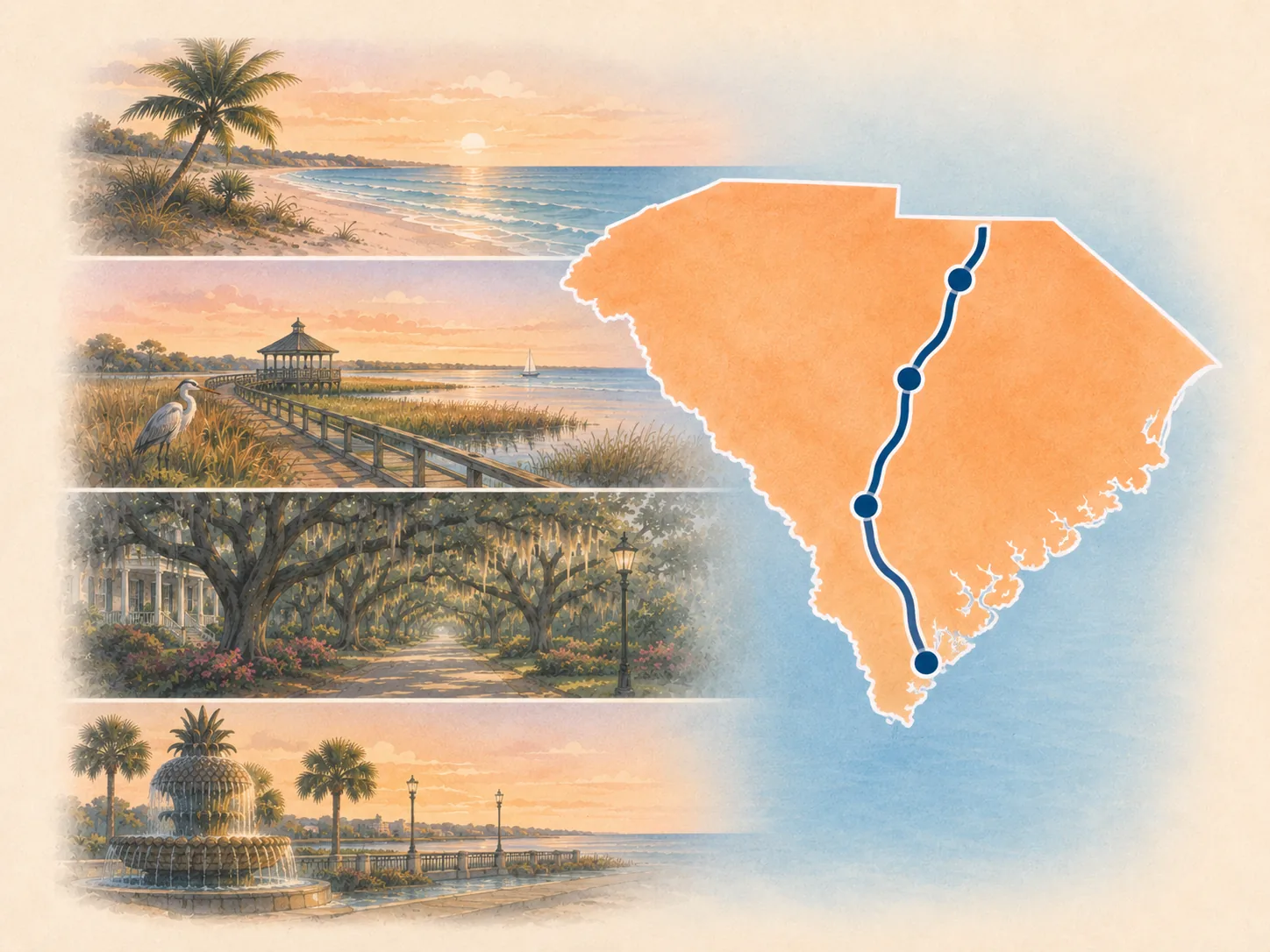
Best ways to use South Carolina right now
Start with the stop or route layer that matches the decision you are actually making. South Carolina can be a one-state road trip, the middle chapter of a longer coastal drive, or a practical bridge between Savannah, Charleston, Georgetown, Myrtle Beach, and Wilmington.
Best major anchor
Charleston
Use Charleston when the state needs one full city base, historic-district stop, overnight plan, or bookable walking-history stop.
Best river reset
Georgetown
Use Georgetown when you want the middle of the state to feel like riverfront, seafood, port history, and a calmer pause before the beach corridor.
Best quiet pause
McClellanville
Use McClellanville to keep the Charleston-to-Georgetown drive from becoming pure mileage. It is a support pause, not a full destination.
Best state-line rhythm
SC / NC coastal handoff
Use the SC / NC handoff when you need the drive logic from Charleston through Georgetown, the Grand Strand, Little River, and into Wilmington.
Best northern trip shape
Charleston to Wilmington
Use this when Charleston is the launch point and the practical question is how to pace the northern South Carolina and Cape Fear handoff.
Best southern approach
Savannah to Charleston
Use this when South Carolina starts as the Lowcountry approach into Charleston rather than the start of a northbound drive.
How the South Carolina corridor works
Think of South Carolina as five connected route zones. Some deserve a stop, some deserve a linger, and some mostly help the traveler understand why the road changes personality.
1 · Georgia line and Lowcountry approach
Hardeeville, Ridgeland, Point South, Gardens Corner, and Jacksonboro
This is the state-entry and support-town layer. It sets the Lowcountry mood, but most travelers should use it for pacing, fuel, and route texture unless they have a specific local reason to stop.
2 · Harbor-city anchor
Charleston and Mount Pleasant
This is the state's strongest planning point. Charleston is where South Carolina changes from a road corridor into a stay-worthy destination, and Mount Pleasant carries the practical northbound exit toward marsh country.
3 · Marsh and forest middle
Awendaw and McClellanville
This middle stretch is valuable because it slows the drive down. It should be used for road rhythm, small-stop texture, and a quiet pause between the larger anchors.
4 · River-to-beach transition
Georgetown, Pawleys Island, and Murrells Inlet
Georgetown gives the state a second real anchor after Charleston. North of Georgetown, the trip begins shifting from historic river-town rhythm toward beach-corridor planning.
5 · Grand Strand and state-line handoff
Myrtle Beach, Atlantic Beach, North Myrtle Beach, and Little River
This is where the road becomes busier, more activity-heavy, and more dependent on the traveler's appetite for beach-town energy. Little River is the last South Carolina cue before the road hands off toward Wilmington.
Stops that make the South Carolina chapter legible
These nodes explain the drive between the major public anchors. Mount Pleasant and Murrells Inlet now have dedicated anchor guides; the remaining communities here stay selective support, route-choice, nature, beach, or heritage context.
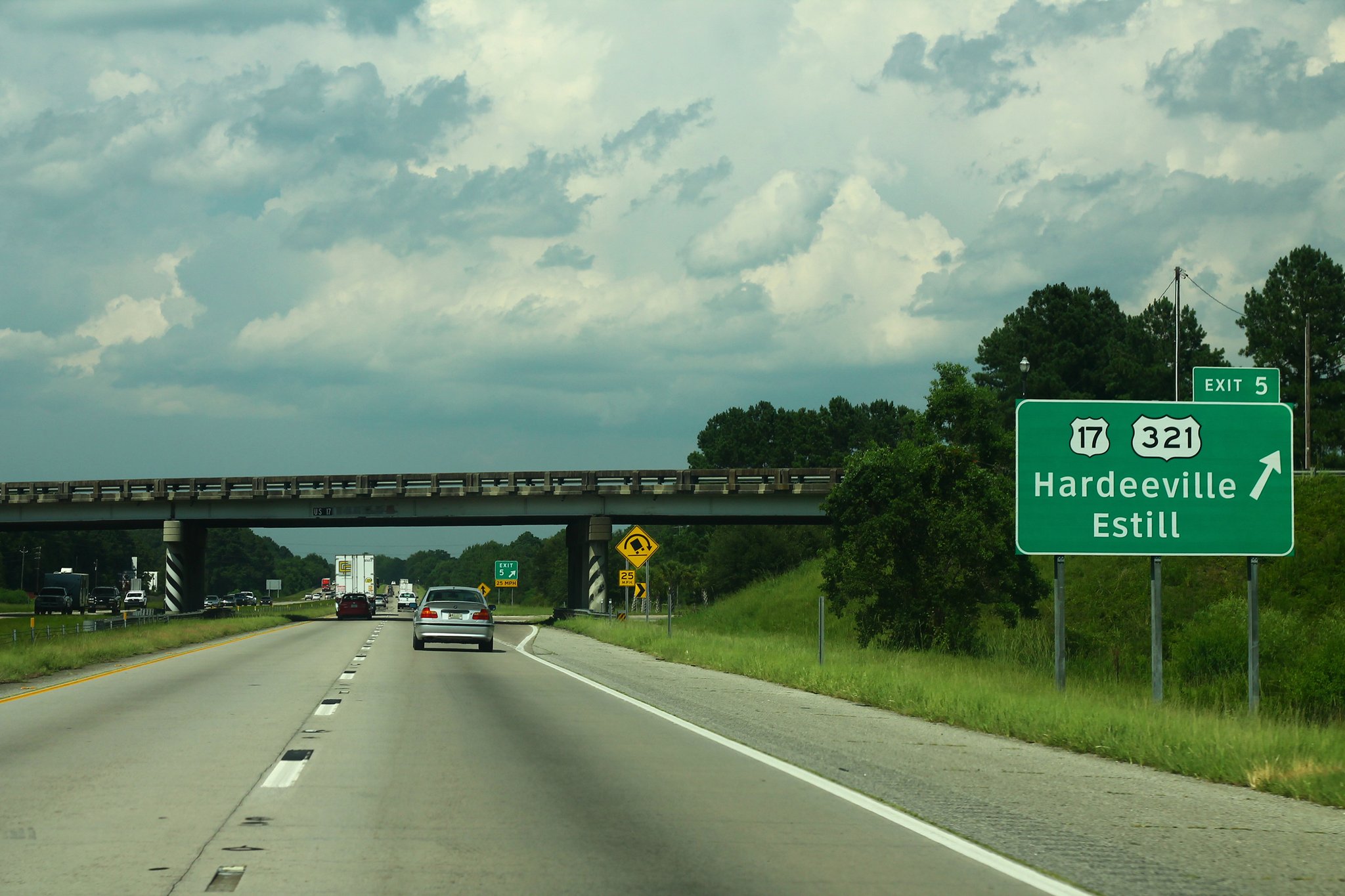
State-entry gateway
Hardeeville
Use Hardeeville for state-entry orientation and logistics before the quieter Lowcountry sequence begins.

Town-center pause
Ridgeland
Use Ridgeland when the southern approach needs one compact town-center reset instead of another highway-only service stop.

Junction orientation
Point South
Use Point South for the U.S. 17 / I-95 junction and Frampton House visitor context before the road turns toward Gardens Corner.
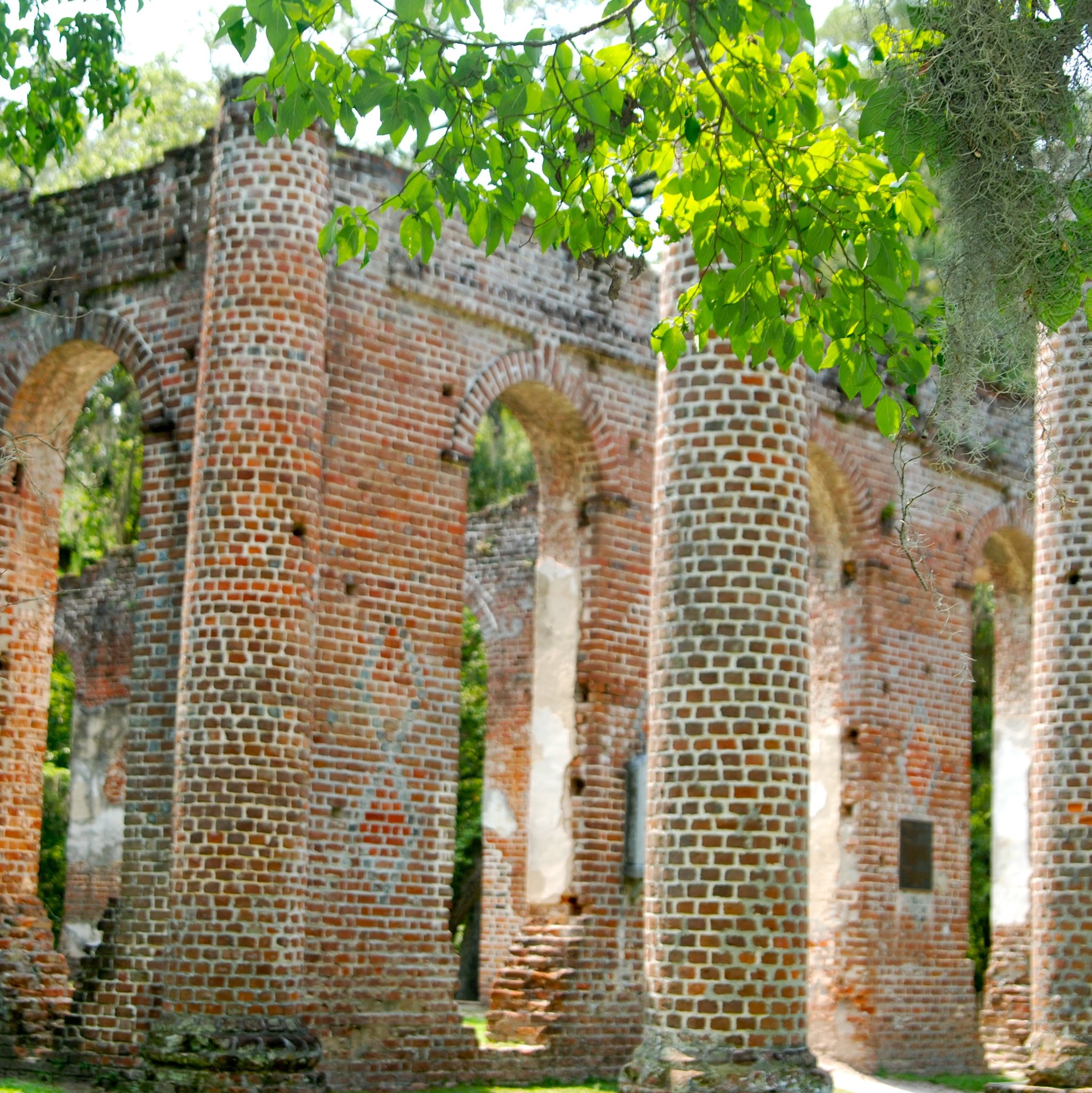
Route-choice junction
Gardens Corner
Use Gardens Corner to understand the U.S. 17 / U.S. 21 split. The pictured Old Sheldon Church is nearby historic context, not a downtown scene.
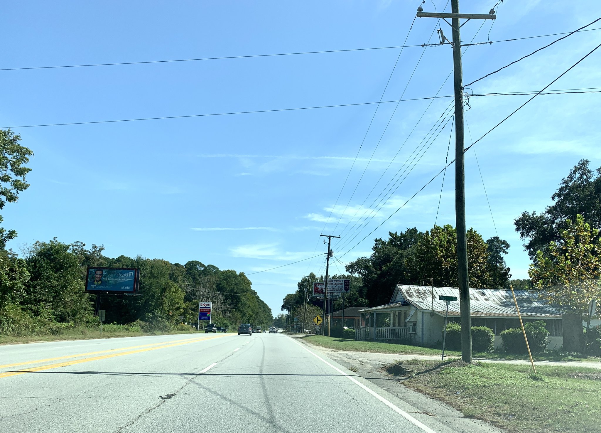
ACE Basin cue
Jacksonboro
Use Jacksonboro as a named U.S. 17 landscape-and-history cue on the final Lowcountry approach to Charleston.
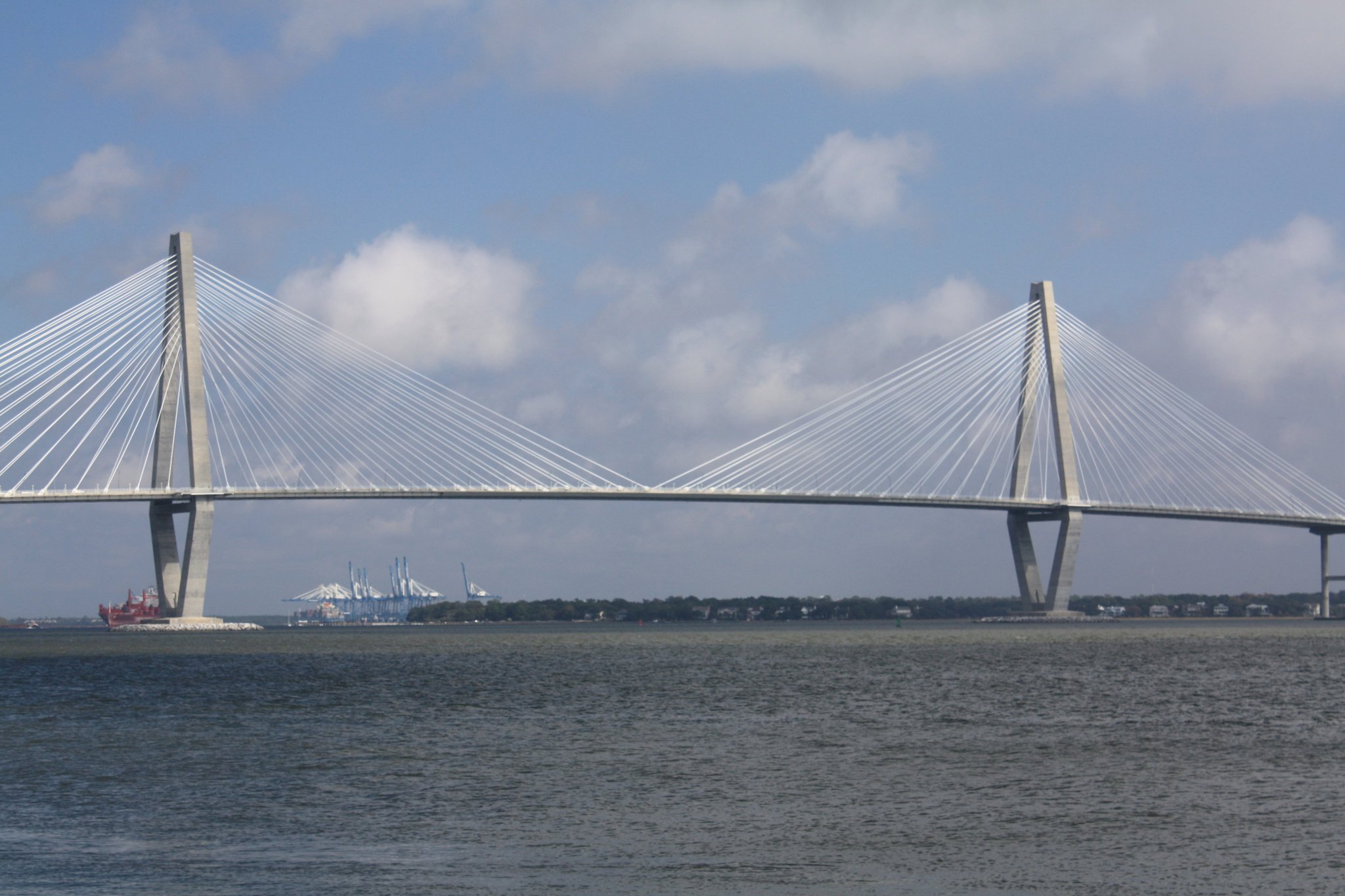
Harbor handoff
Mount Pleasant
Use Mount Pleasant as the bridge-and-waterfront transition from Charleston into the quieter northbound U.S. 17 chapter.
Plan Mount Pleasant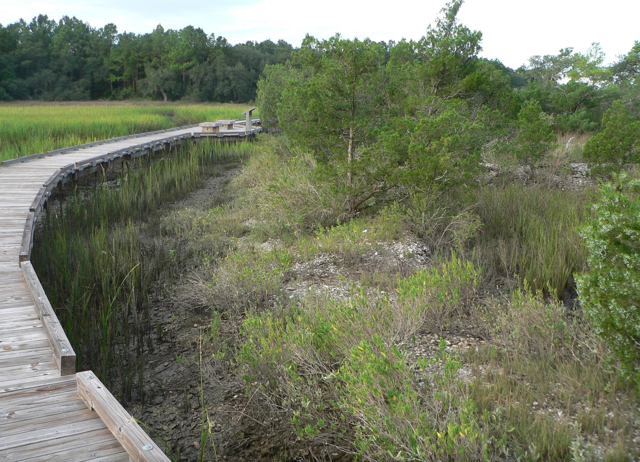
Forest-and-marsh reset
Awendaw
The Sewee Center and Cape Romain / Francis Marion context make Awendaw the strongest nature-oriented support stop north of Charleston.
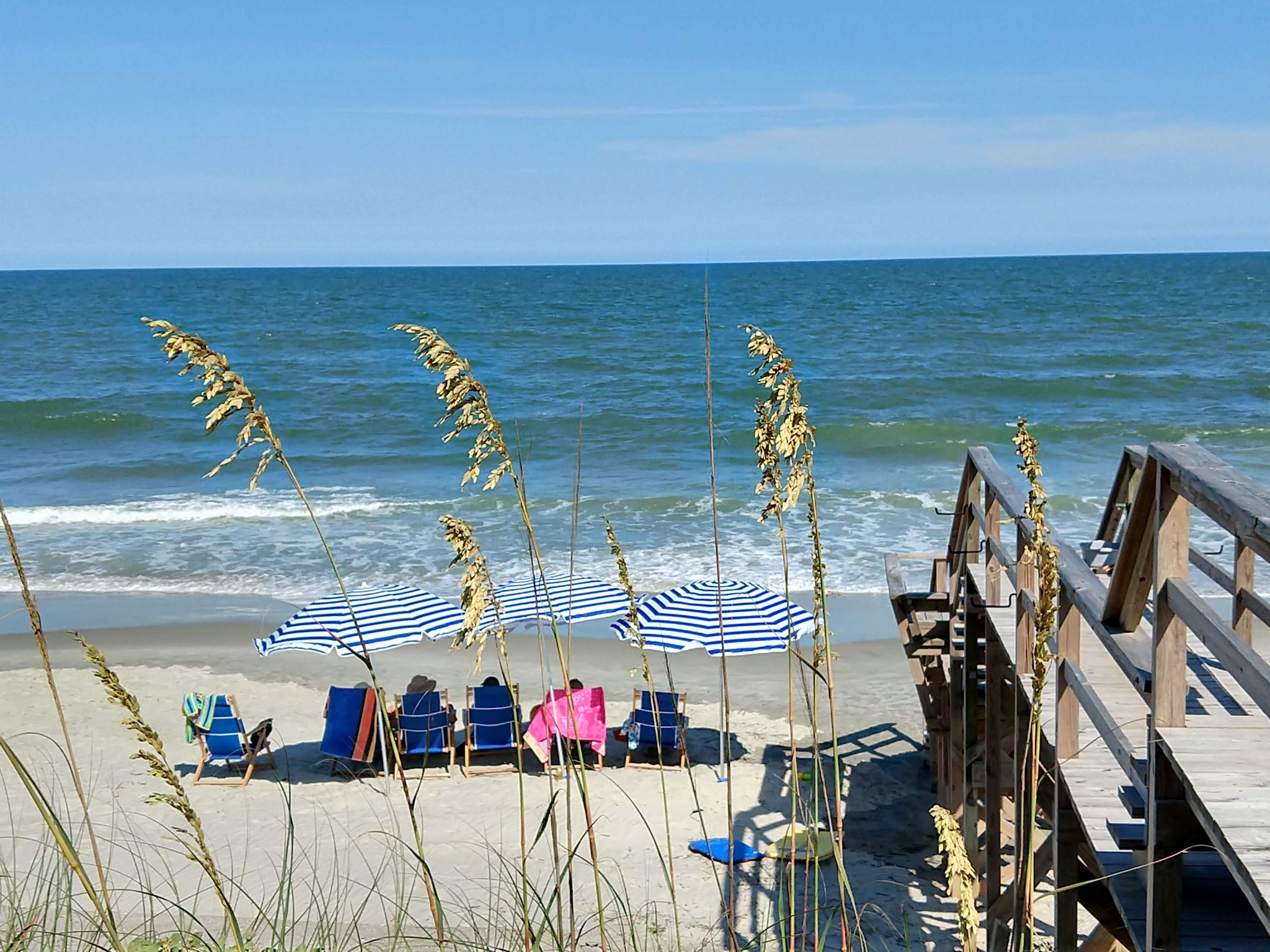
Quiet beach detour
Pawleys Island
Use Pawleys as an intentional short detour for historic barrier-island and marsh character before the Grand Strand gets busier.
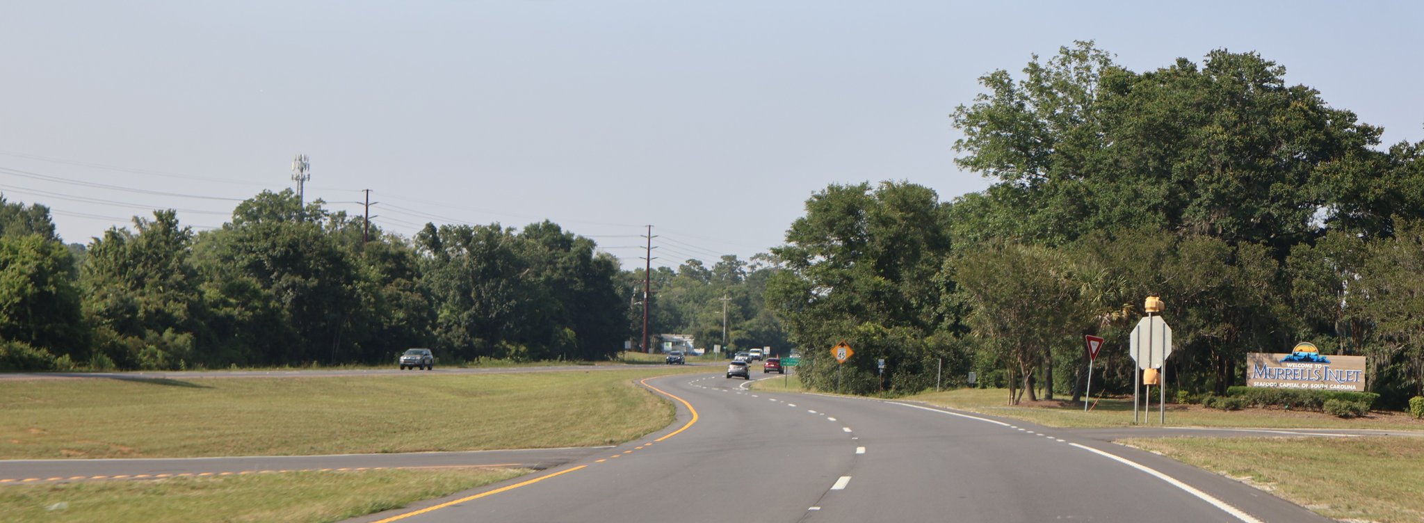
Marsh-and-seafood hinge
Murrells Inlet
Use Murrells Inlet for fishing-village, estuary, and MarshWalk identity between Pawleys Island and Myrtle Beach.
Plan Murrells Inlet
Black Pearl heritage
Atlantic Beach
Treat Atlantic Beach as a distinct historic African American beach community and heritage node between Myrtle Beach and North Myrtle Beach, not as generic beach filler.
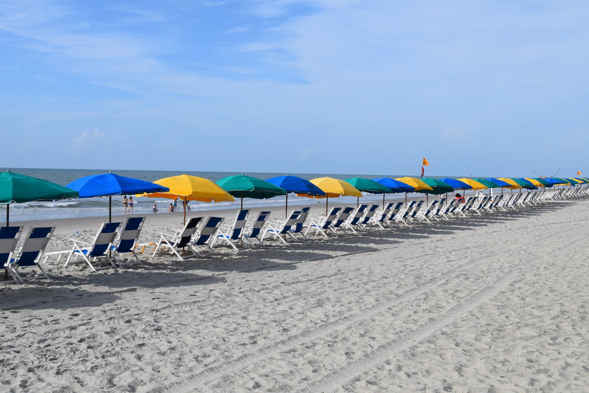
North Grand Strand
North Myrtle Beach
Use North Myrtle Beach as its own northern anchor, with Cherry Grove fishing and Ocean Drive beach-music context before Little River.
Driving I-95? Read the southern Lowcountry as a handoff
The southern South Carolina chapter is useful even when I-95 is your main through-route. Hardeeville and Ridgeland provide practical orientation and reset choices, while Point South is the key place to understand the I-95 / U.S. 17 relationship before Route 17 carries the drive deeper into the Lowcountry.
Stay on I-95 when
Your priority is covering mileage and reaching Charleston or another major anchor with minimal intermediate planning. The Interstate remains the through-driving layer; this guide is not asking you to abandon it for the whole state.
Move onto Route 17 when
You want a town-center reset in Ridgeland, Point South orientation, or a more deliberate Lowcountry approach toward Gardens Corner, Jacksonboro, the ACE Basin context, and Charleston. SCDOT has framed I-95 corridor work in Jasper County between Ridgeland and the U.S. 17 interchange, reinforcing this southern stretch as a real route-choice zone for drivers deciding when to leave through-driving mode.
Check SCDOT's I-95 corridor information for current project and interchange context.
What kind of state chapter this is
Use it as
- a Lowcountry and coastal-history chapter
- a Charleston-centered state road trip
- a Savannah-to-Wilmington bridge
- a beach-corridor decision zone
Avoid using it as
- a checklist of every coastal town
- a single fast drive with no anchor stop
- a drive that treats Charleston, Georgetown, and Myrtle Beach as the same kind of stop
- a string of bookings detached from real stop decisions
Current South Carolina anchors
Charleston is the major city anchor, Georgetown is the river-town reset, McClellanville is the quiet Lowcountry pause, and Myrtle Beach is the Grand Strand decision. Read the four cards as different jobs on the same corridor, not as interchangeable stops.
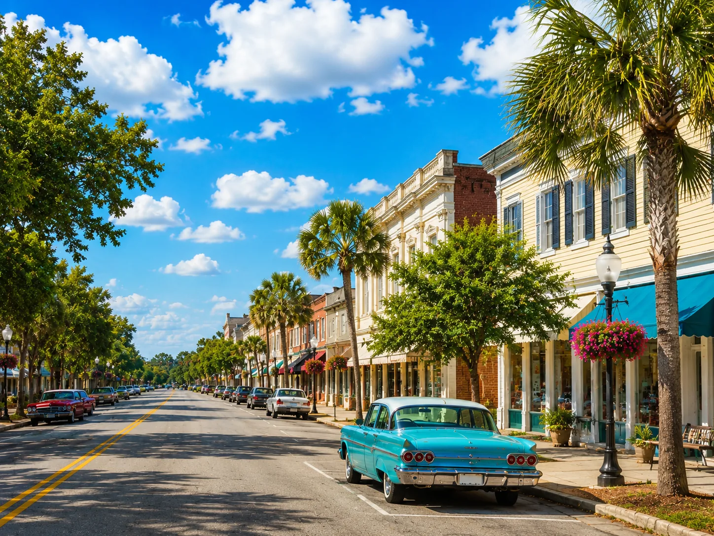
Major historic anchor
Charleston
Best for overnight, walking history, harbor context, food, and the state's strongest bookable city handoffs.
Plan Charleston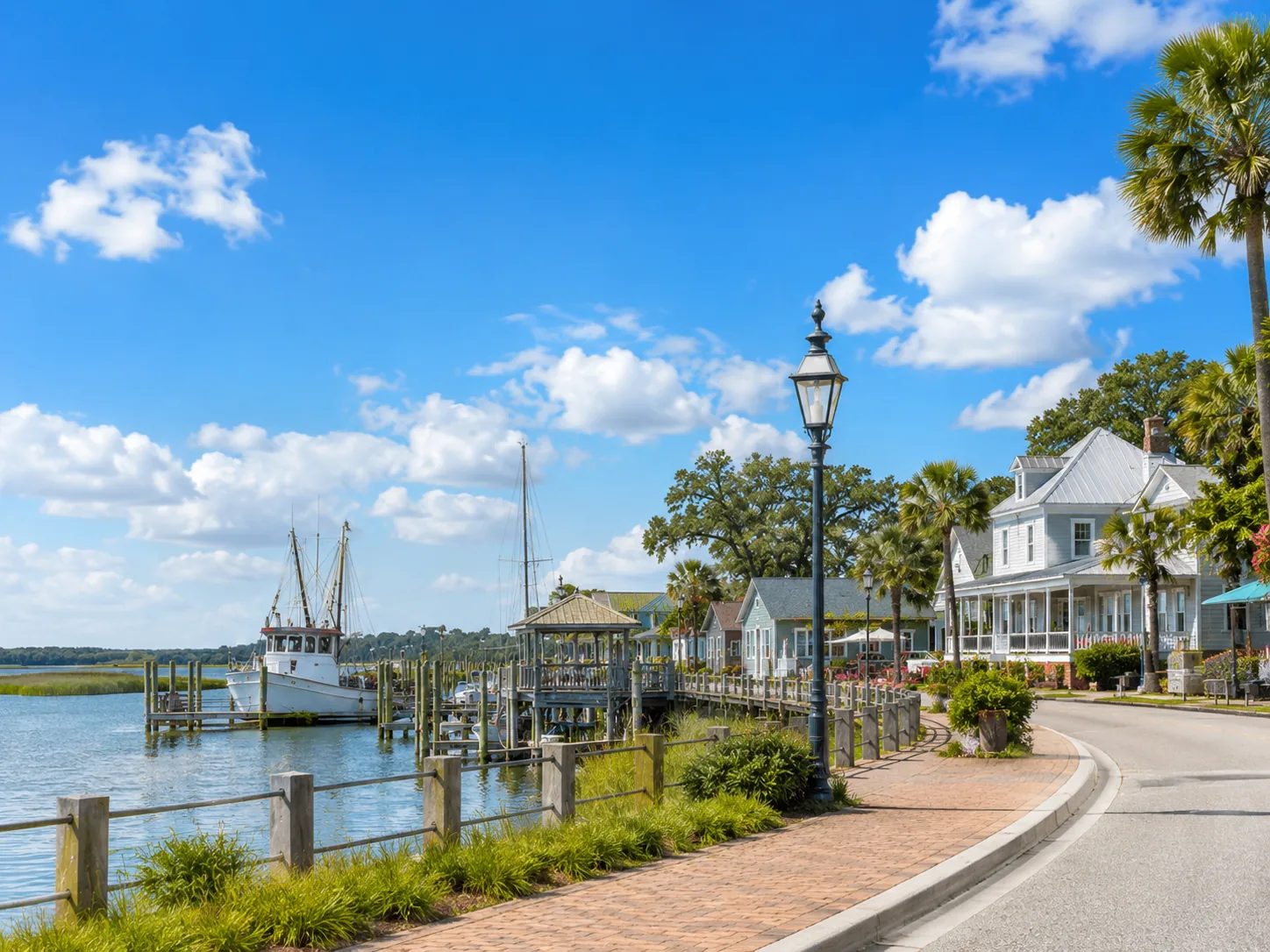
River-town reset
Georgetown
Best for a calmer riverfront pause, lunch stop, or overnight alternative before the road turns beachier.
Plan Georgetown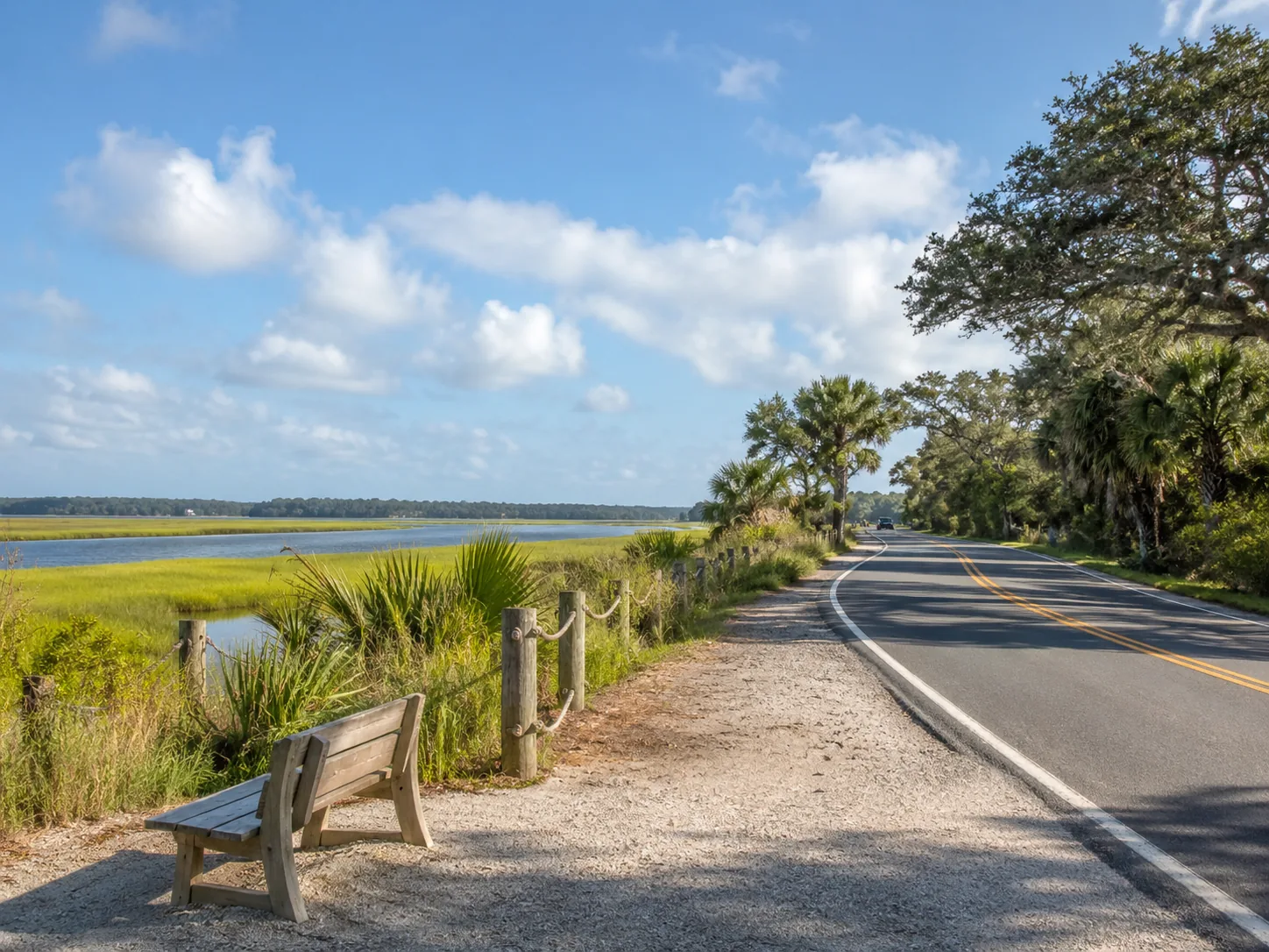
Small support pause
McClellanville
Best when the day needs a quiet Lowcountry pause between Charleston and Georgetown.
Plan McClellanville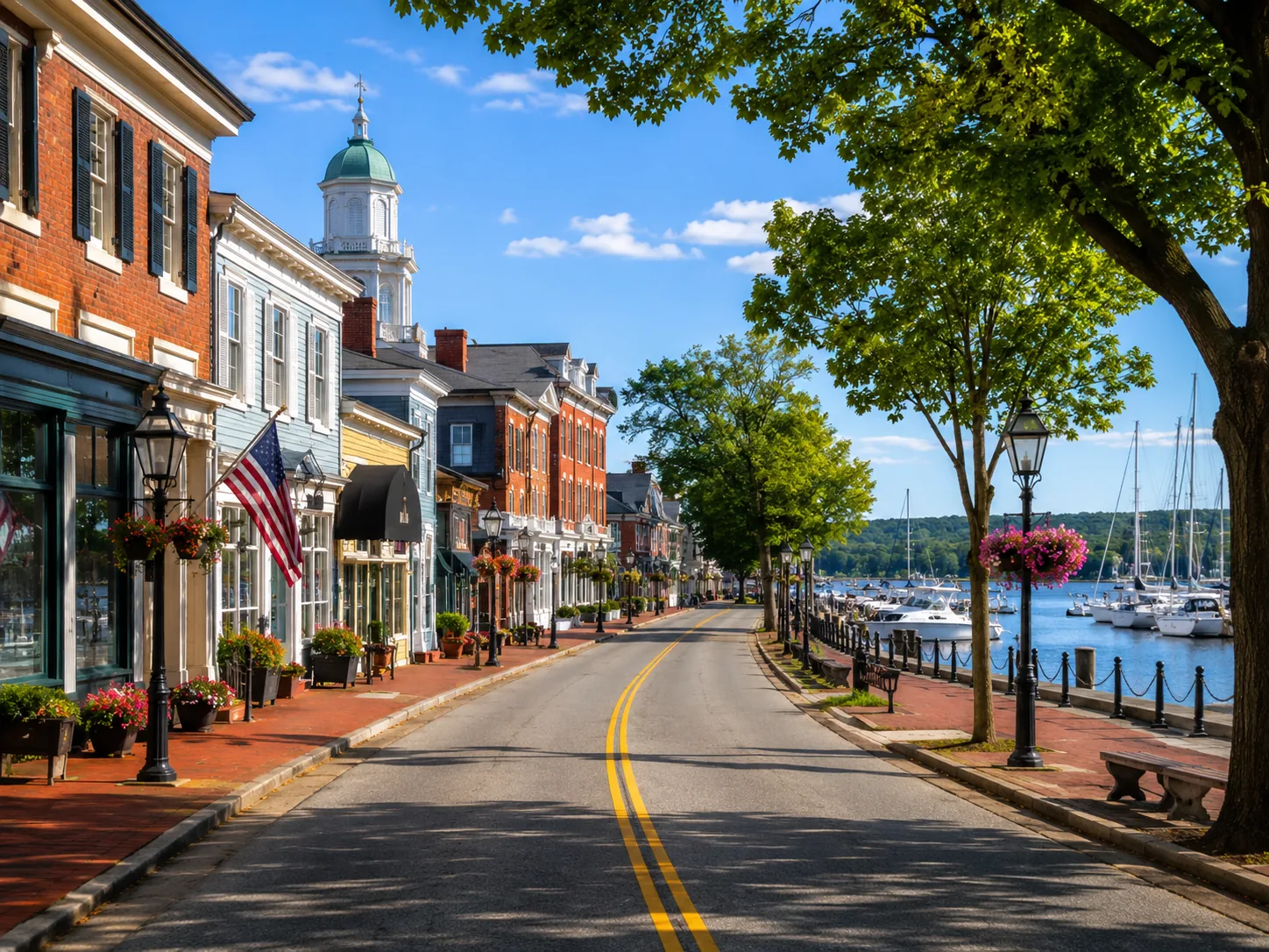
Beach-corridor anchor
Myrtle Beach
Best when the South Carolina chapter shifts from quiet coastal-road texture into activity-heavy beach planning.
Open Myrtle BeachDrive rhythm and practical planning
Best default plan
Choose one major anchor first. For most travelers that means Charleston. Then decide whether Georgetown is a second anchor, whether McClellanville is a pause, and whether the Grand Strand is a destination or a pass-through section.
Where the day can go wrong
The state gets messy when travelers try to treat Charleston as a quick stop, Georgetown as merely a sign on the way north, and Myrtle Beach as just another coastal town. These are different stop types, and the day works better when the time blocks match those roles.
The utility section should support those decisions with practical prompts: reset before the Grand Strand, verify current services before relying on smaller stops, and use Little River as a state-line orientation cue rather than a new destination to overbuild.
Stop briefly
Use McClellanville or support-town pauses when you need the road to breathe but do not want to break the day open.
Linger
Use Georgetown when the middle of South Carolina deserves a real riverfront stop, lunch, or calmer overnight.
Stay
Use Charleston when South Carolina is the point of the day, not just the route between two other places.
Keep moving
Use the Grand Strand selectively if beach energy is not the goal. Traffic, parking, and activity density can change the whole day.
Trips and segments that use this state
Charleston-to-Wilmington is the northern trip, Savannah-to-Charleston is the southern approach, the SC / NC coastal handoff is the state-line drive rhythm, and Route 17 overview gives the whole-corridor context.
Southern approach
Savannah to Charleston
Use Savannah to Charleston when the state begins as a Lowcountry approach and Charleston is the payoff.
Northern continuation
Charleston to Wilmington
Use Charleston to Wilmington when the trip needs the full sequence from Charleston through Georgetown, the Grand Strand, and the Cape Fear handoff.
Drive rhythm
South Carolina / North Carolina coastal handoff
Use the SC / NC coastal handoff to compare the state-line rhythm before deciding whether to linger in South Carolina or push into North Carolina.
Whole route
Route 17 overview
Use Route 17 overview when you need to compare South Carolina with Florida, Georgia, North Carolina, and Virginia.
Travel handoff zones
South Carolina has several places where a Route 17 stop can become a real handoff. Charleston works best for walking history and evening plans, Georgetown for water-and-nature context, and the Grand Strand for broader beach-area decisions. Keep the quiet middle simple when the day only needs road rhythm.
Charleston
Walking, history, and evening options
Use these when Charleston is the main stop and the traveler has enough time to turn the city into a real plan.
View Charleston handoffs
Georgetown area
Water, marsh, and nature context
Use nearby options only when they reinforce Georgetown's river-and-coast role rather than pretending every nearby activity is a direct town offer.
View Georgetown handoffs
Grand Strand
Activity-heavy beach corridor
Use the Grand Strand when the traveler wants beach-area energy; otherwise treat it as a practical handoff toward Little River and North Carolina.
Open Myrtle BeachBest next pages
Use Charleston when you want the city anchor, Georgetown when you want the river reset, the SC / NC handoff when you want the cross-state rhythm, and Route 17 overview when you want the whole corridor.
Open first
Charleston
Use Charleston when you are deciding whether to stay, walk, book, or continue north.
Open second
Georgetown
Use Georgetown when the state needs a calmer middle anchor.
Compare rhythm
SC / NC handoff
Use the SC / NC handoff when you are choosing the day shape from Charleston to Wilmington.
Zoom out
Route overview
Use Route 17 overview when South Carolina needs to be compared with the rest of Route 17.
Take this state chapter on paper
Print the South Carolina Route 17 planner
Use the 4-page state planner to keep the chapter role, anchor stops, route decisions, reset strategy, and current-condition checks together while you plan.