Historic-island support detour
Pawleys Island at a glance
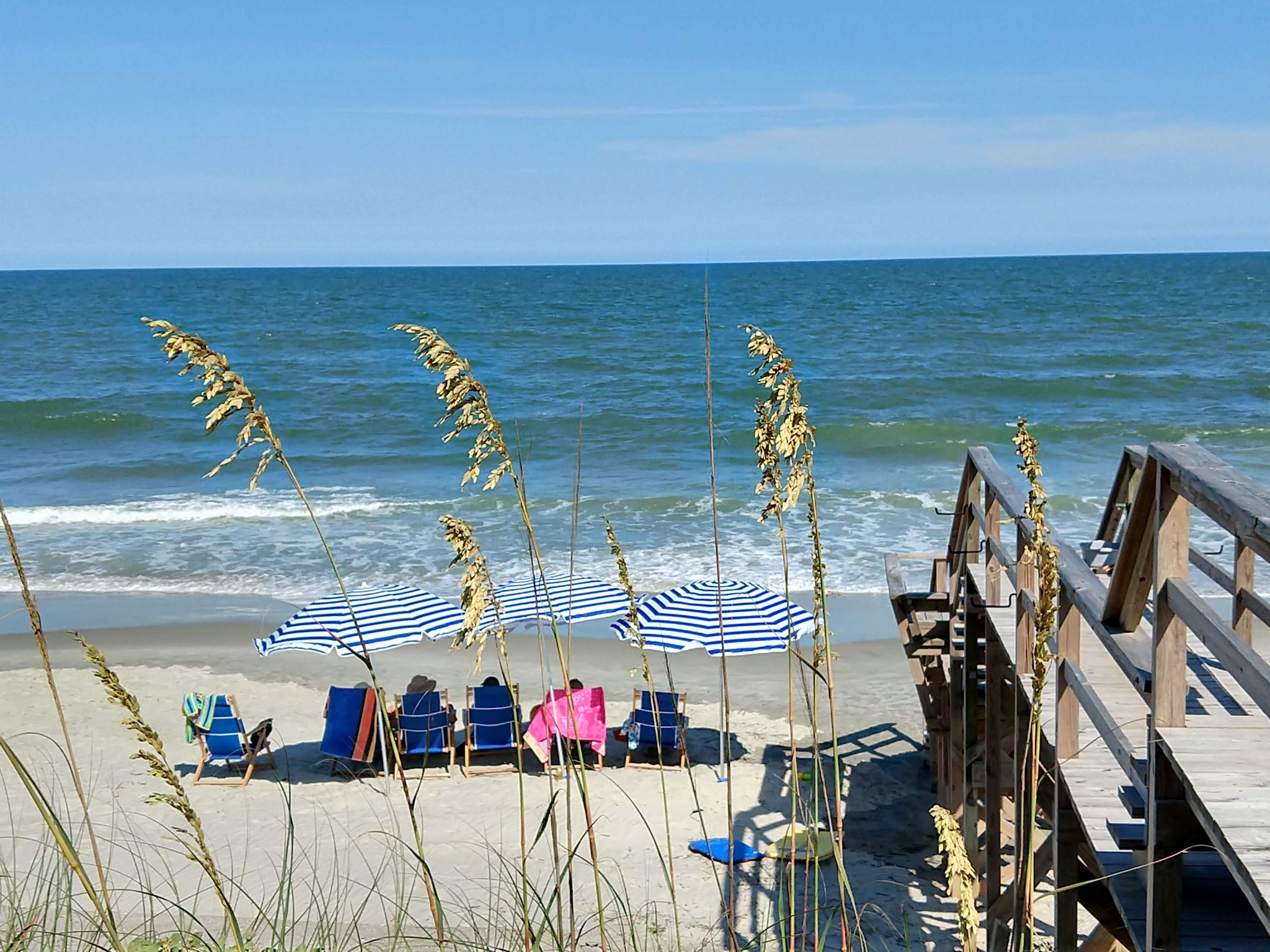
Pawleys Island is a quiet historic barrier-island detour from the U.S. 17 corridor between Georgetown and Murrells Inlet. It works best when the trip needs beach-and-marsh character without immediately committing to Grand Strand resort scale.
Keep the route language honest: U.S. 17 does not run down the island. Pawleys is a purposeful short detour from the corridor.
Why Pawleys Island matters on Route 17
Route role
Pawleys gives the Georgetown-to-Grand-Strand leg a quieter beach-and-marsh option before Murrells Inlet and Myrtle Beach change the scale of the trip.
Planning value
Its historic-island identity is distinct from both Georgetown and the larger resort corridor, making it useful as a deliberate detour rather than another interchangeable beach stop.
How to use the detour
Northbound
Use Pawleys after Georgetown when the day needs a quiet coast-and-marsh pause before Murrells Inlet and Myrtle Beach.
Southbound
Use it after the Grand Strand when the drive needs a calmer coastal reset before Georgetown.
Keep the detour explicit
Treat Pawleys Island as adjacent to U.S. 17 rather than implying the highway runs through the beachfront community.
Verify access
Parking, beach conditions, storm impacts, and local restrictions are date-sensitive.
Continue along Route 17
Southbound anchor
Georgetown
Return to the riverfront anchor and historic port rhythm.
Northbound anchor
Murrells Inlet
Continue to the marsh-and-seafood hinge before Myrtle Beach.
Trip layer
Charleston to Wilmington
Use Pawleys as an optional quiet detour inside the larger coastal-Carolinas trip.
State context
South Carolina
Compare Pawleys with Georgetown, Murrells Inlet, and the Grand Strand.
Source and accuracy note
This guide is projected from the reviewed Route17 Place KB record for Pawleys Island. Route role and durable planning context follow that canonical record; parking, access, beach conditions, storm impacts, and local restrictions remain time-sensitive.