Forest-and-marsh support stop
Awendaw at a glance
Awendaw is the strongest nature-oriented support stop immediately north of the Charleston area. The Sewee Visitor Center sits directly on Highway 17 and gives the Cape Romain and Francis Marion landscape a concrete, on-corridor planning point.
Use Awendaw as a forest-and-marsh reset between Mount Pleasant and McClellanville, not as shorthand for every experience in the larger refuge or national forest.
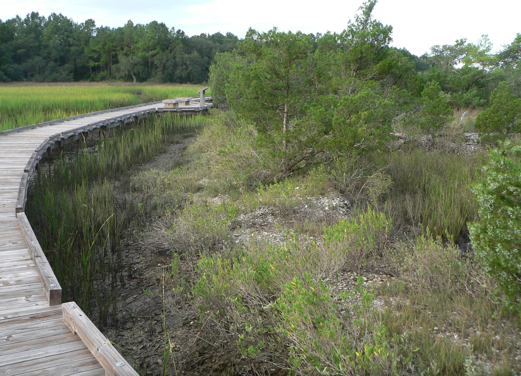
Why Awendaw matters on Route 17
Route role
Awendaw bridges the Charleston-area urban edge and McClellanville's quieter fishing-village rhythm with a clear forest-to-coast transition.
Planning value
The Sewee Visitor Center gives this support node a concrete reason to stop without requiring a major detour from U.S. 17.
How to use the stop
Northbound
Use Awendaw after Mount Pleasant when the drive needs a nature reset before McClellanville and Georgetown.
Southbound
Use it as the point where the quiet forest-and-marsh middle gives way to the Charleston-area approach.
Keep access claims precise
The Sewee Visitor Center is the clear U.S. 17-facing layer; do not imply every Cape Romain experience is road-accessible from Awendaw.
Verify the stop
Visitor-center and refuge access can change. Confirm current hours and conditions before building the stop into a fixed itinerary.
Continue along Route 17
Southbound anchor
Mount Pleasant
Return to the Charleston Harbor handoff and larger service layer.
Northbound connection
McClellanville
Continue into the quieter fishing-village rhythm of the coastal middle.
Trip layer
Charleston to Wilmington
Use Awendaw when the city-to-city trip needs a forest-and-marsh pause.
State context
South Carolina
Compare Awendaw with the rest of the Lowcountry and Grand Strand support layer.
Source and accuracy note
This guide is projected from the reviewed Route17 Place KB record for Awendaw. Route role and durable planning context follow that canonical record; visitor-center hours, refuge access, closures, and local conditions remain time-sensitive.