Hampton Roads anchor
Suffolk at a glance
Suffolk is the canonical Route 17 anchor between Portsmouth and Newport News. Its planning job is to make the long Hampton Roads arterial leg readable before the route reaches the James River crossing.
Northbound, use Suffolk as the major orientation and services reset before the Isle of Wight and bridge approach. Southbound, use it as the first substantial reset after the James River crossing before Portsmouth and Chesapeake.
Why Suffolk matters on Route 17
Route role
VDOT treats Route 17 through Suffolk and Isle of Wight County as a significant tourism, freight, and regional corridor. Suffolk gives that long arterial section a clear city-scale anchor before the James River crossing.
Planning value
Use Suffolk for orientation and services rather than assuming one compact downtown stop represents the entire Route 17 experience through the city.
How to use the stop
Northbound
Reset in Suffolk before the Isle of Wight and James River approach, then let Newport News carry the bridge-crossing chapter.
Southbound
Use Suffolk as the first major anchor after the James River crossing before the corridor works back toward Portsmouth and Chesapeake.
Think corridor, not one block
Route 17 is a long arterial through the Suffolk area. Keep the city-scale corridor role distinct from individual neighborhoods or downtown walking plans.
Check current conditions
Traffic, freight activity, incidents, and corridor projects can change the feel of this leg, so use current road information when timing matters.
Continue along Route 17
Southbound gateway
Chesapeake
Use Chesapeake when the Virginia chapter should return to the practical state-entry gateway.
Northbound crossing
Newport News
Continue to Newport News when the James River Bridge should become the next route-defining event.
Virginia sequence
Virginia Tidewater to Winchester
Place Suffolk inside the full Virginia driving rhythm.
State context
Virginia
Compare Suffolk with the rest of the Route 17 Virginia anchors.
Source and accuracy note
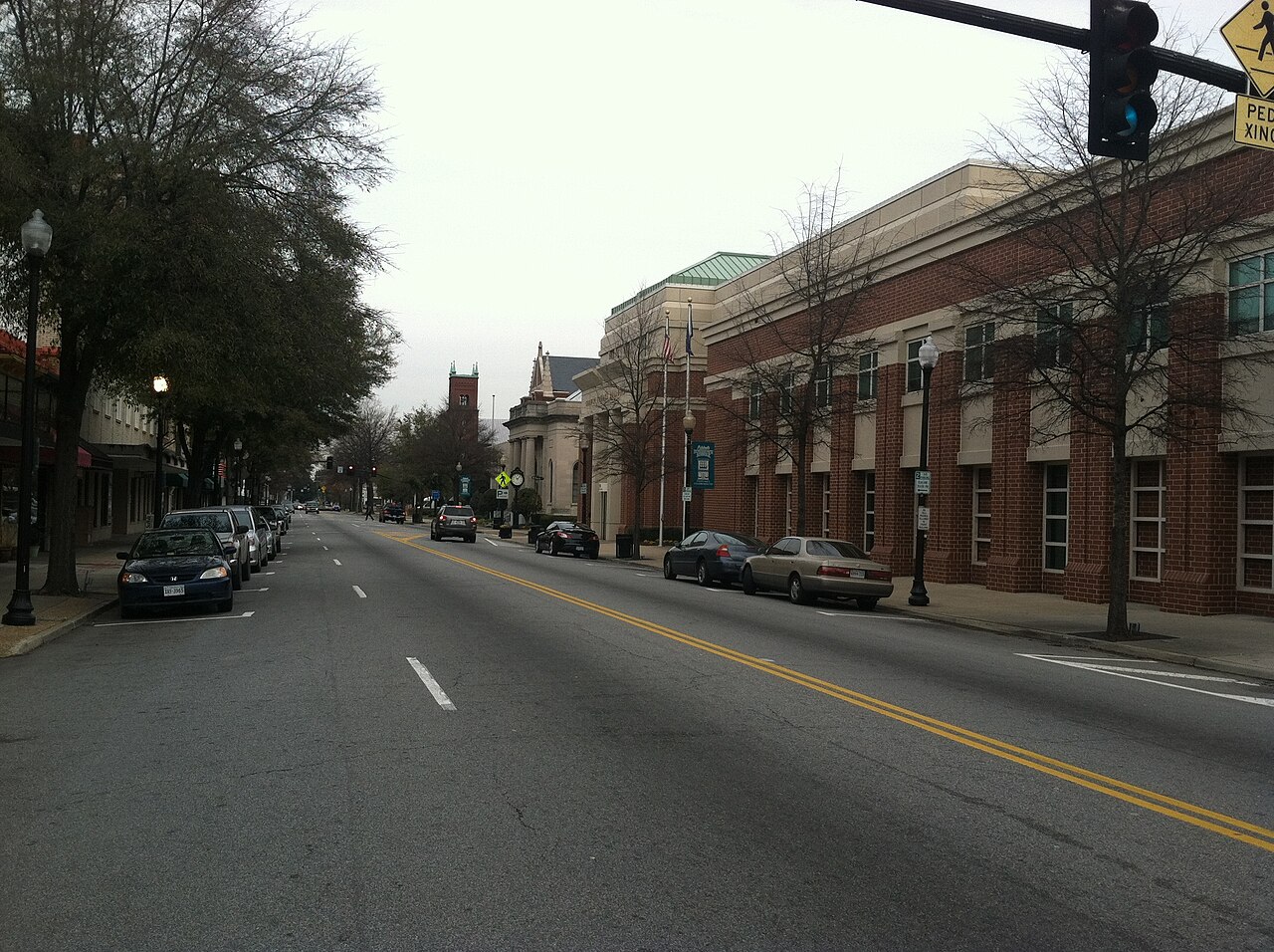
This guide is projected from the reviewed Route17 Place KB record for Suffolk. Route role and durable planning context follow that canonical record. The hero image is a Wikimedia Commons photograph of North Main Street in downtown Suffolk by Kubigula, licensed CC BY-SA 3.0. Traffic, incidents, construction, and local operating conditions remain time-sensitive.