Virginia gateway
Chesapeake at a glance
Chesapeake is the Virginia gateway city where Route 17 moves out of northeastern North Carolina context and into the Hampton Roads side of the trip. It is a practical transition point more than a quiet small-town pause, and it works best when the route needs a reset before Virginia gets more layered.
Use Chesapeake to reset after the South Mills and Dismal Swamp approach or to organize the next Virginia move toward Newport News, Yorktown, and the Tidewater stretch that follows.
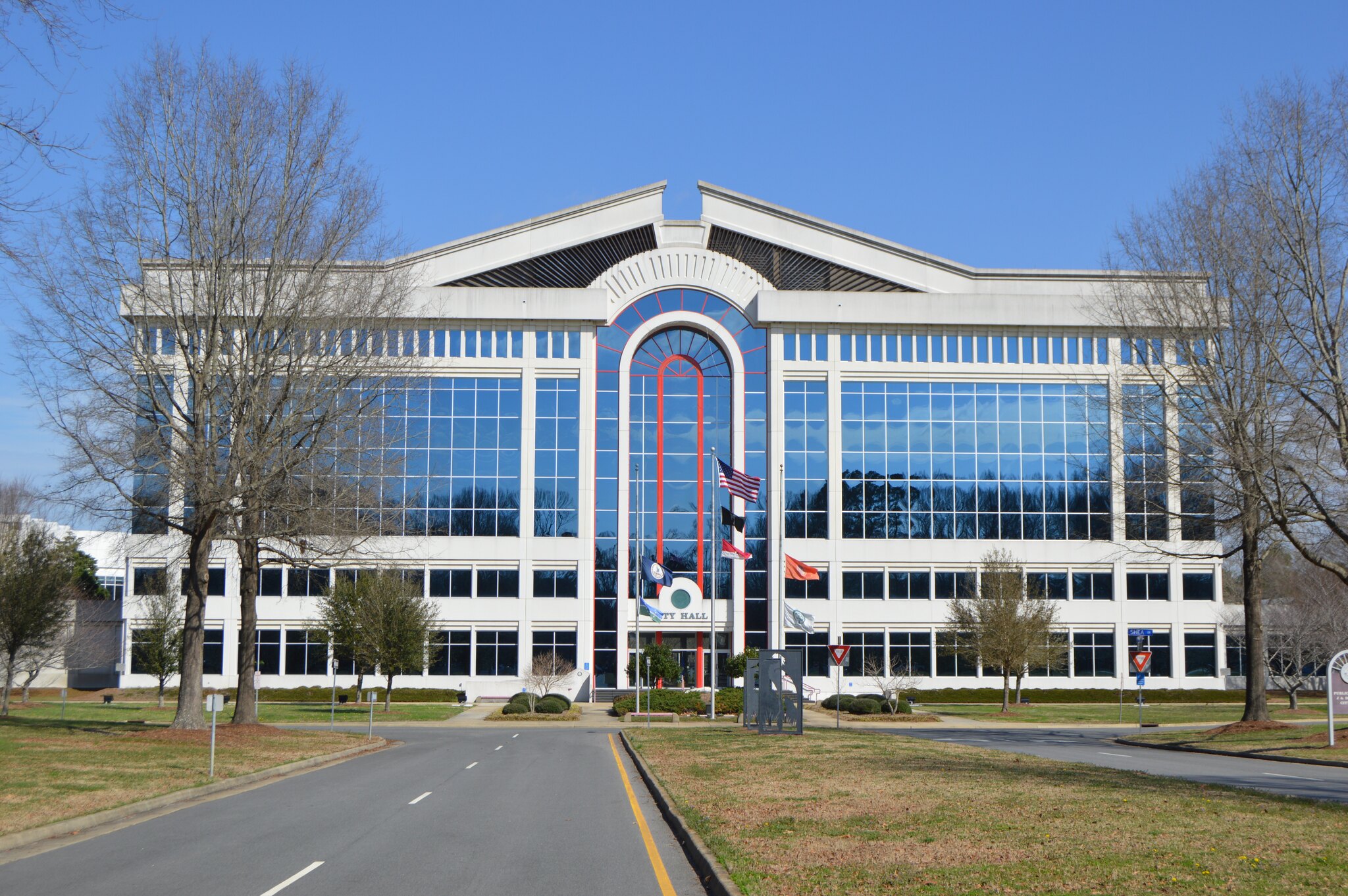
Why Chesapeake matters on Route 17
Route role
Chesapeake is where the road changes scale. The trip is no longer only Inner Banks towns and swamp-edge context; it is entering the larger Hampton Roads traffic and decision field, with the Great Dismal Swamp edge still serving as regional orientation rather than a stop-by-stop planning cue.
Best use
Use Chesapeake as a practical reset and orientation point. It can support services, lodging, and timing decisions before the route continues toward the York River and Virginia history context.
What kind of stop Chesapeake is
Best as
A practical Virginia gateway where Route 17 can reset after the North Carolina approach and before the Tidewater chapter gets more complicated.
Works as
A traffic-shaped services stop, an overnight buffer, or a clean place to decide whether the day stays direct or leans into a slower Virginia history run.
Weak as
A calm scenic pause. Chesapeake matters because it helps the drive move, not because it pretends to be the quietest stop on the map.
Pairs with
Elizabeth City for the northbound handoff, Yorktown for the history layer, and Virginia when the chapter needs its broader finish context.
How this stop helps the drive
Northbound
- Elizabeth City and the North Carolina approach: Chesapeake is the first larger Virginia stop after the final North Carolina reset.
- Great Dismal Swamp transition: keep the swamp edge in mind as the durable regional handoff, not as a live conditions cue.
- Hampton Roads reset: this is where traffic, timing, food, fuel, and lodging decisions become more important than scenery.
- Yorktown and the York River history layer: Chesapeake is the place to decide whether the next move stays direct or turns into a slower Tidewater history chapter.
Southbound
- Practical Virginia departure point: Chesapeake works as the place to start the southbound chapter with a clean reset.
- Return toward Elizabeth City: it sets up the move back into the quieter Inner Banks rhythm and the North Carolina side of the trip.
- Scale change: moving south from Chesapeake feels like leaving Hampton Roads size behind and returning to a more subdued coastal-road context.
Traffic and routing choices matter here. Keep nearby campground or park records framed as broad planning cues unless official sources confirm the details you need.
Practical route utility nearby
These nearby utility records are presented as practical planning cues from the Route 17 guide. They are not live availability, access, parking, ramp, or conditions claims. Confirm access, hours, fees, reservations, closures, and conditions with the official source before planning around any stop.
For traveler planning, read these as possible rest area, rest stop, picnic stop, public park, public parks, parks to relax, welcome center, day-use, place to stretch, stretch-your-legs, or make coffee cues only when the official rules, hours, weather, parking, and on-site conditions support that kind of pause.
Nearby utility note
First Landing State Park
This nearby utility note is a campground-context planning cue for the Chesapeake / Hampton Roads edge of Route17. Treat it as broad route-planning context, not as a claim about availability, access, parking, or conditions.
How to use this cue
Use the record as a prompt to check official Virginia state-park information when Chesapeake becomes part of a longer Hampton Roads or Tidewater route plan.
Nearby route context
Previous context
Southwest of Chesapeake, Route 17 connects back toward Elizabeth City, Camden, South Mills, and the northern North Carolina stretch. That is the route logic that makes Chesapeake feel like a gateway instead of a standalone destination.
Next context
North of Chesapeake, the route points into the Hampton Roads and York River side of Virginia, with Yorktown carrying the history stop and the wider Tidewater chapter carrying the rest of the decision-making.
Route layers to use from Chesapeake
Use these pages when you want Chesapeake to be read as a gateway, a state handoff, or the start of a longer Virginia planning sequence. They give you the nearby route roles without repeating the same job in a different form.
Southbound neighbor
Elizabeth City
Use Elizabeth City when the Chesapeake stop should be read as the final North Carolina reset before Virginia.
History layer
Yorktown
Use Yorktown when the next Virginia move should lean into river history rather than just traffic flow.
North Carolina frame
North Carolina
Use the state page when you want the southern approach and the Elizabeth City handoff in view.
Virginia frame
Virginia
Use the state page when Chesapeake should be read as the opening move of the Virginia chapter.
Southbound approach
North Carolina Cape Fear, Inner Banks, and Albemarle approach
Use the segment page when you want the North Carolina side of the handoff leading into Chesapeake.
Virginia finish layer
Virginia Tidewater, historic corridor, and Shenandoah finish
Use the segment page when Chesapeake should be read inside the full Virginia closing chapter.
Whole-route view
Route 17 overview
Use the overview when you want the gateway city inside the full Florida-to-Virginia spine.
Ask the route
Route17 AI
Use Route17 AI when you want help deciding whether Chesapeake should be a quick reset, an overnight, or the start of the Tidewater chapter.
Best next pages
These are the pages that usually matter next. They move you from Chesapeake's gateway role into the surrounding North Carolina handoff, the Virginia history layer, or the wider corridor frame.
History next
Yorktown
Use Yorktown when the Virginia side of the trip should turn into a chosen York River history stop instead of a simple drive-through.
State next
Virginia
Use Virginia when Chesapeake should become the opening note in the full state chapter.
Southbound reset
Elizabeth City
Use Elizabeth City when you want to step back toward the quieter Inner Banks approach and rebuild the southbound sequence.
Zoom out
Route 17 overview
Use the overview when you want Chesapeake to sit inside the whole Florida-to-Virginia corridor instead of only the local gateway move.