Segment guide
South Carolina Lowcountry and Grand Strand on Route 17
Bring the Lowcountry, the Grand Strand, and the Cape Fear finish into one coherent plan.
The South Carolina Lowcountry and Grand Strand segment is the Route 17 stretch where Charleston, Georgetown, the Grand Strand, Little River, and Wilmington work as one planning lane. Charleston and Wilmington are the major bookends, but the value of the segment is in the decisions between them: whether to linger in the marsh middle, reset in Georgetown, choose beach energy deliberately, or keep the state-line transition brief.
Use it northbound from Charleston toward Wilmington, or southbound from Wilmington toward Charleston. The useful questions stay the same: where to slow down, where to reset, and whether the Grand Strand is the destination, the middle, or only the route between bigger anchors.
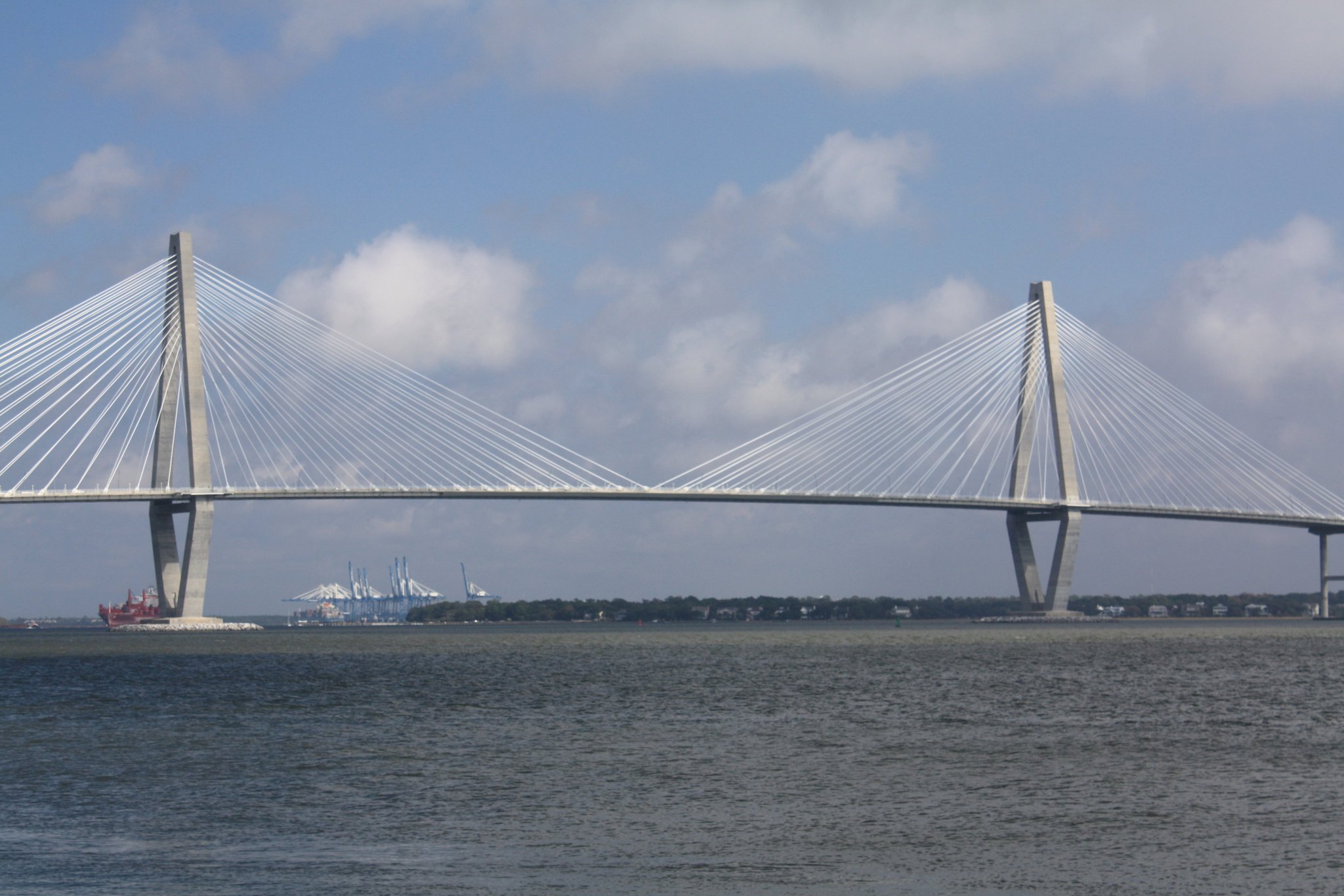
Segment at a glance
These anchor cards summarize the Charleston-to-Wilmington handoff and show how the corridor changes from city depth to river-town reset to Cape Fear finish.
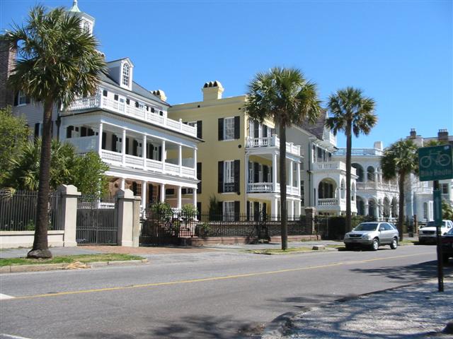
Southern bookend
Charleston
Major historic anchor, strongest South Carolina experience zone, and best southern launch for this segment.
- Use as a base if the trip starts with walking, food, harbor context, or history.
Middle anchor
Georgetown and the Grand Strand
The road changes from river-and-marsh texture into beach traffic, seafood stops, and busier tourism decisions. Use Myrtle Beach when the Grand Strand should be a chosen stop, not just a drive-through zone.
- Reset in Georgetown before deciding how much Grand Strand energy belongs in the day.

Northern bookend
Wilmington
The Cape Fear finish gives the segment a real North Carolina endpoint instead of a vague state-line fadeout.
- Finish here when the next day should begin with North Carolina, not leftover driving.
How to drive this segment
Keep the day legible by separating the bookends from the middle: Charleston and Wilmington carry the destination weight, Georgetown carries the calm reset, and the Grand Strand becomes an intentional choice rather than automatic stop density.
Fast but still coastal
Northbound, start after Charleston has already had its time and finish cleanly in Wilmington. Southbound, give Wilmington its role first, then use Georgetown and McClellanville to make the Charleston approach feel coastal instead of rushed.
Best full-day rhythm
In either direction, let one bookend carry the major time block, use Georgetown as the calm middle, choose one Myrtle Beach or Little River decision, and arrive at the other bookend with margin.
Overnight split
Use Georgetown, Pawleys Island, Murrells Inlet, or the Grand Strand as a buffer when the trip should feel like a coastal chapter instead of a transfer.
What not to do
Do not try to make every named place a stop. This segment works best when the small stops add texture and the anchors do the heavy lifting.
Drive rhythm and stop logic
Best fit
This segment is for travelers who want Route 17 to feel coastal without reducing the trip to beach stops alone. Charleston and Wilmington are the bookends; Georgetown, Little River, and the Grand Strand are the decision layer between them.
Practical layer
Build the day around transitions. Charleston is a stay-and-walk anchor, Georgetown is a river-town reset, Myrtle Beach anchors the Grand Strand traffic-and-activity decision zone, and Little River is useful for state-line orientation. The Little River Welcome Center can be a brief reset before Wilmington if the stop should stay short. Verify current stop details before relying on specific hours or services.
Once you cross into North Carolina, use Shallotte for the mainline/Business 17 orientation and Leland for the Brunswick County gateway before the Wilmington finish.
Anchor and support stops that explain the South Carolina middle
The segment is denser than the headline cities suggest. Mount Pleasant and Murrells Inlet now have dedicated anchor guides; the other nodes here remain selective nature, beach, heritage, and route-choice support.
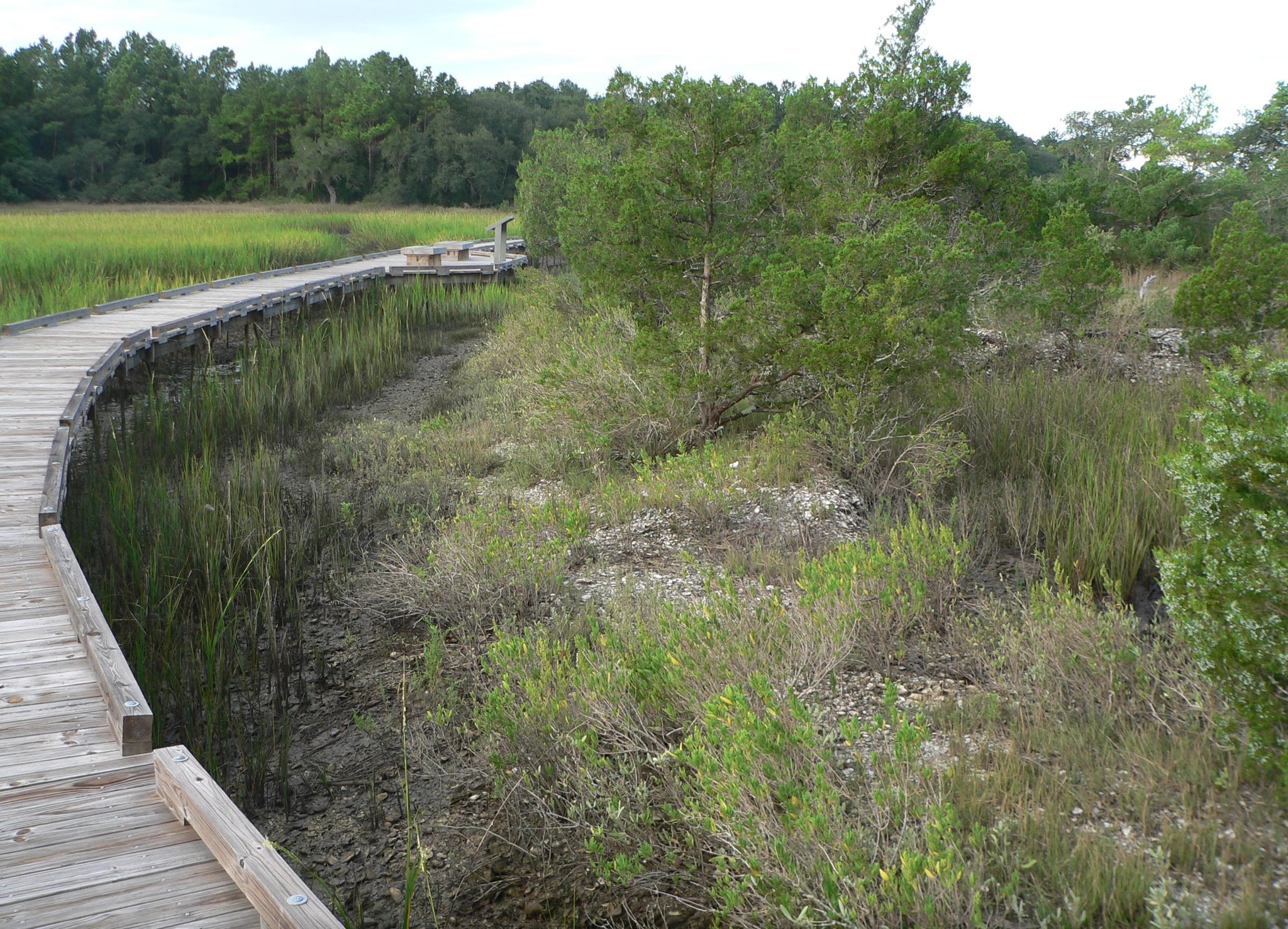

Short detour
Pawleys Island
Quiet historic-island choice between Georgetown and the busier Grand Strand.
Black Pearl heritage
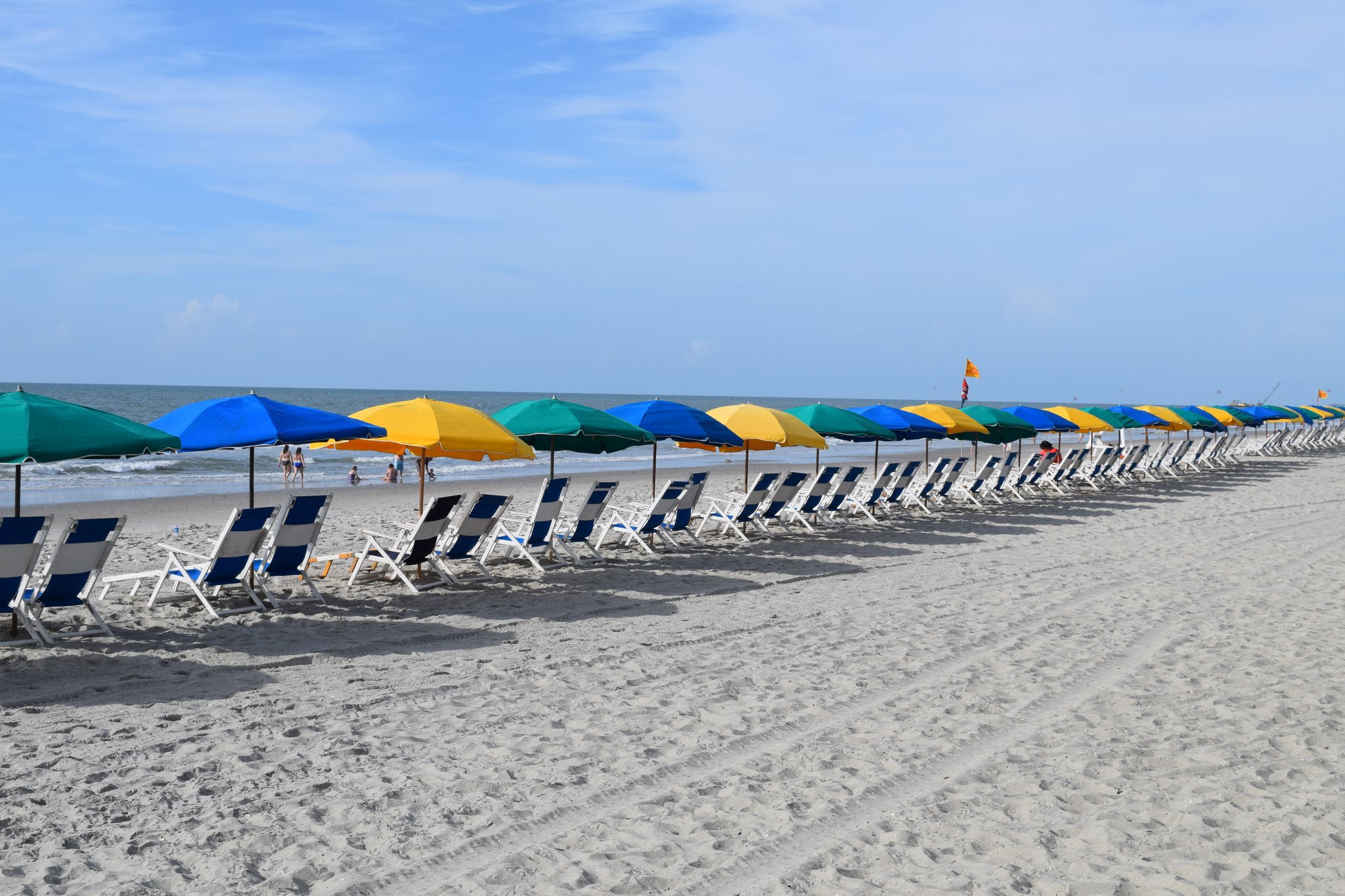
Atlantic Beach
Historic African American coastal community whose identity deserves its own place in the Grand Strand story.
Northern anchor
North Myrtle Beach
Cherry Grove and Ocean Drive provide the final substantial beach-city layer before Little River.
Helpful planning stop nearby
Little River Welcome Center is the clearest state-line reset on this segment. Use it when Wilmington is close enough that the stop should stay brief and practical.
Check the official welcome-center information before you count on hours or services. The value here is orientation and a short reset, not a longer detour.
Bookable handoff zones
Use bookable options where they strengthen the route decision: Charleston for history, harbor, and walking context; the Grand Strand for a deliberate beach-corridor stop; and Wilmington for the Cape Fear finish. Georgetown still works best as a calm river-town pause, with a concise water-and-wildlife layer nearby when the day calls for it.

Charleston handoff
Charleston Murder Mystery: Solve the case!
Use this when Charleston needs a lighter, interactive after-dinner layer instead of another long scheduled tour.
View option
Charleston harbor
1.5-Hour Charleston Harbor Cruise with Live Narration
Choose this when the Charleston stop should include harbor orientation before the route turns north toward the marsh and Grand Strand.
View option
Charleston marsh
2-Hour Guided Kayak Eco Tour in Charleston
Use this when the route day wants a nature-forward Charleston layer before the quieter marsh-country stretch toward Georgetown.
View option
Grand Strand handoff
Edgar Allan Poe Speakeasy: Chapter Two - Myrtle Beach
Use this only if the Grand Strand becomes an intentional evening anchor rather than a quick corridor pass-through.
View option
Wilmington handoff
Kid Quest in Wilmington: Interactive Family Scavenger Hunt (Ages 4–8)
Keep this for family-forward Wilmington arrivals when the riverfront needs a short activity instead of a full museum or boat block.
View option
Wilmington handoff
Wilmington, NC Detective Game: Solve the Kingmakers Conspiracy!
Use this when Wilmington is the finish and the riverfront needs a self-guided last stop before dinner or an overnight reset.
View optionText-only handoffs worth keeping
Georgetown and Grand Strand backups
Keep the smaller written handoffs as secondary choices for a Georgetown nature layer, a Grand Strand history layer, or a Wilmington water and history option.
- Waccamaw River Nature and Wildlife Tour when Georgetown needs a water-and-wildlife nearby layer.
- Early Myrtle Beach History and The WWII Years Trolley Tour when the Grand Strand stop needs history context.
Wilmington arrival backups
Wilmington has written water and walking-history records that are useful when the city becomes the finish or next-morning anchor.
- Eagles Island 50 minute Narrated Boat Cruise for a short Cape Fear water option.
- History and Architecture Walking Tour for a compact Wilmington history stop.
Where to pause, reset, or go deeper
Choose between a major anchor, a quiet coastal pause, or a beach-city reset based on how much time the drive can support.
Quiet middle
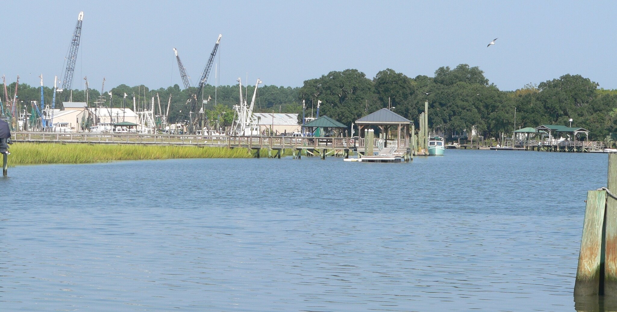
McClellanville and marsh-country pacing
Use McClellanville as a small-scale reminder that the road between Charleston and Georgetown is part of the trip, not filler.
- Pause for road texture.
- Skip if the day needs major services or a booked commitment.
River-town reset
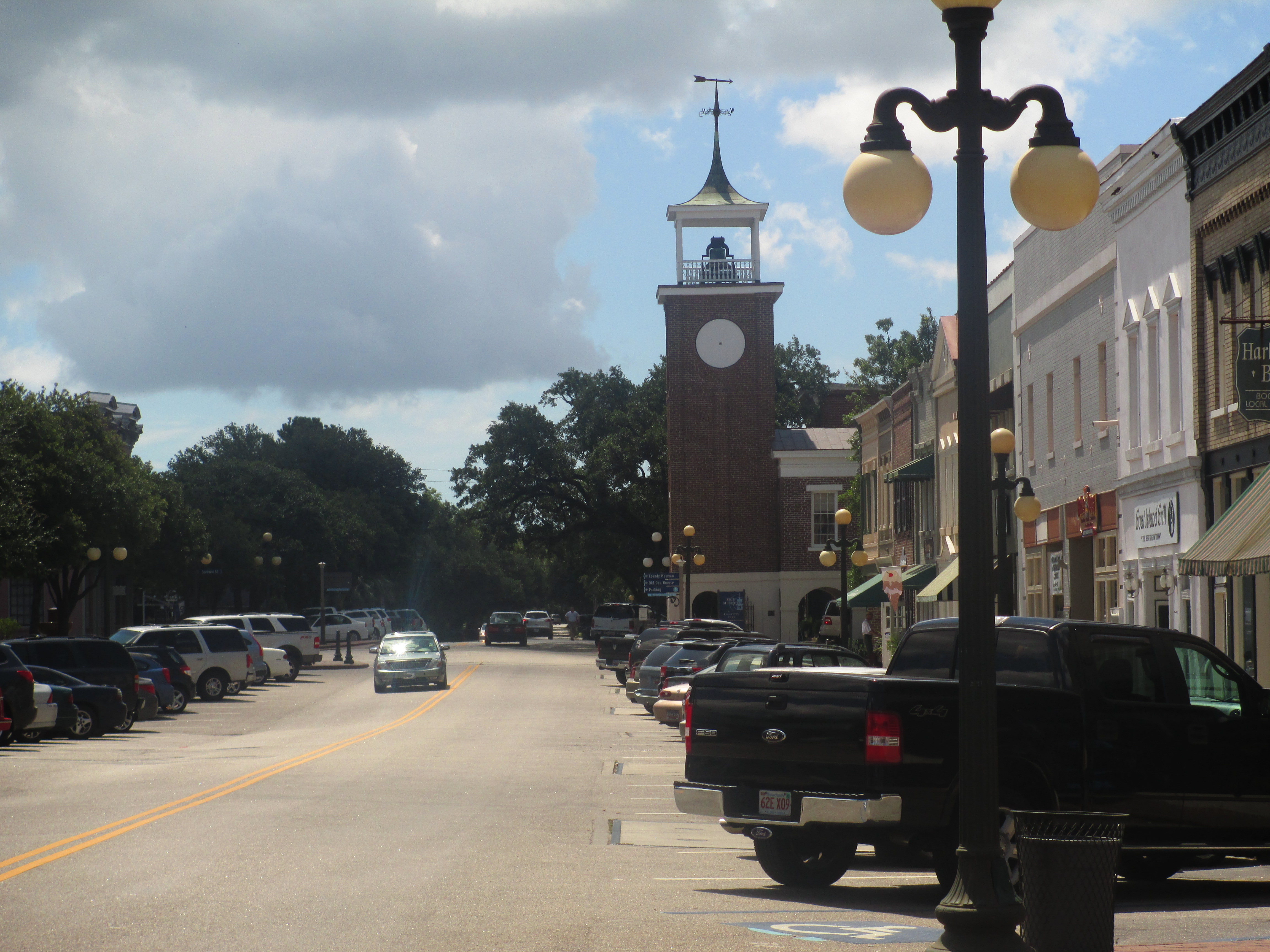
Georgetown
Georgetown is the easiest middle anchor to understand: a pause before the trip turns more beach-oriented.
- Use for lunch or overnight when Charleston-to-Wilmington is too compressed.
State-line utility
Little River orientation
The north end of South Carolina has state-line planning context. Treat Little River as orientation support, not a current-services promise.
- Use briefly to reset the route map before North Carolina.
Related trip and state layers
Use these pages to decide whether the Lowcountry-to-Cape-Fear corridor should stay a segment, become a full trip, or connect directly into the Georgia or North Carolina chapters.
Matching trip
Charleston to Wilmington
Use the trip page when you want the stop-by-stop itinerary rather than the corridor logic first.
State context
South Carolina
Use the state page when the Lowcountry and Grand Strand need their broader Route 17 frame.
Northbound context
North Carolina
Use the state page when Wilmington should become the launch into the river-and-sound chapter.
Southbound segment
Georgia Coast and Golden Isles
Use the Georgia coast segment when Charleston is the next handoff after Savannah.
Whole route
Route overview
Use the overview when this handoff needs to be read inside the full Florida-to-Virginia corridor.
Carry this driving chapter
Print the South Carolina-North Carolina coastal handoff chapter planner
The 4-page sheet turns this live chapter into a paper sequence for entry decisions, driving rhythm, anchors, backup stops, reset choices, current checks, and the next-chapter handoff.